Ivinghoe Hills
Map

Map

Facts and practical information
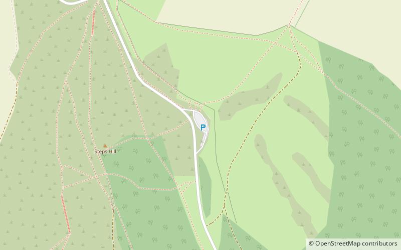
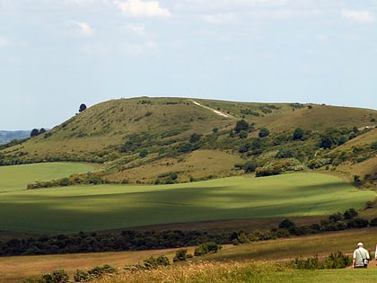
Ivinghoe Hills is a 210.4 hectares Site of Special Scientific Interest in Ivinghoe in Buckinghamshire, and part of the Chilterns Area of Outstanding Natural Beauty. It is listed in A Nature Conservation Review. The Ridgeway long-distance footpath ends and the Icknield Way Path starts in the site on Ivinghoe Beacon. An Iron Age fort on Ivinghoe Beacon and a tumulus on Gallows Hill are Scheduled Monuments. The site is part of the National Trust's Ashridge Estate, apart from a small area which belongs to Buckinghamshire County Council. ()
Coordinates: 51°50'2"N, 0°36'11"W
Location
England
ContactAdd
Social media
Add
Day trips
Ivinghoe Hills – popular in the area (distance from the attraction)
Nearby attractions include: St Mary the Virgin, Ivinghoe Beacon, Pitstone Windmill, Icknield Way.


