Vague, Leeds
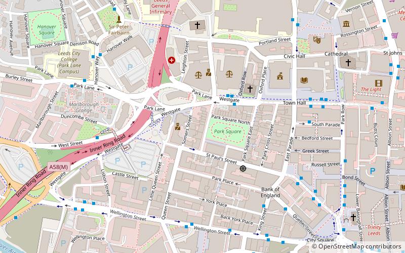
Map
Facts and practical information
Vague was an influential art club night held at The Warehouse nightclub in Leeds, West Yorkshire, England, from 1993 to 1996. ()
Coordinates: 53°47'56"N, 1°33'11"W
Address
City and Holbeck (Leeds City Centre)Leeds
ContactAdd
Social media
Add
Getting there by public transportation
Public transportation stops near this location
- Bus
- Train
- Ferry
 Bus
Bus
- Calculate routeCivic N 2 min walk
- Calculate routeWestgate Y2 2 min walk
- Calculate routeWellington H 5 min walk
- Calculate routeWellington J 5 min walk
- Calculate routeLeeds 10 min walk
- Calculate routeBurley Park 35 min walk
- Calculate routeLeeds Water Taxi Dock 25 min walk
Day trips
Vague – popular in the area (distance from the attraction)
Nearby attractions include: Trinity Leeds, The Light, The Headrow, St John's Centre.


Frequently Asked Questions (FAQ)
Which popular attractions are close to Vague?
Nearby attractions include Park Square, Leeds (2 min walk), The George, Leeds (4 min walk), Leeds Town Hall, Leeds (5 min walk), Forest of Leeds, Leeds (5 min walk).
How to get to Vague by public transport?
The nearest stations to Vague:
Bus
Train
Ferry
Bus
- Civic N • Lines: 14 (2 min walk)
- Westgate Y2 • Lines: 15 (2 min walk)
Train
- Leeds (10 min walk)
- Burley Park (35 min walk)
Ferry
- Leeds Water Taxi Dock • Lines: Leeds Dock Water Taxi (25 min walk)