Victoria Embankment, London
Map
Map

Facts and practical information
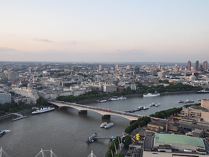
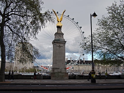
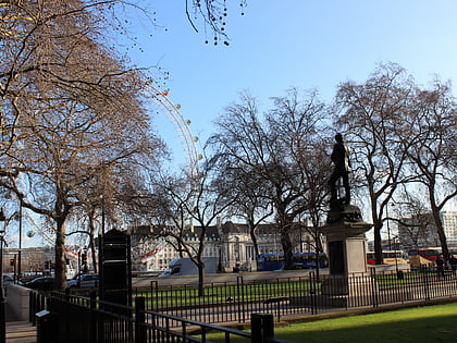
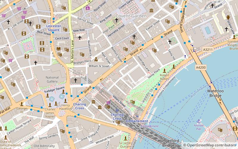
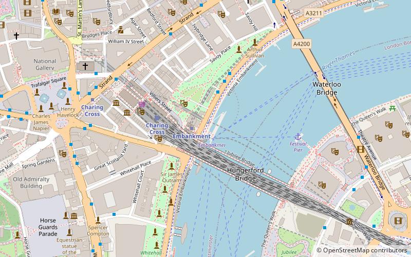
Victoria Embankment is part of the Thames Embankment, a road and river-walk along the north bank of the River Thames in London. It runs from the Palace of Westminster to Blackfriars Bridge in the City of London, and acts as a major thoroughfare for road traffic between the City of Westminster and the City of London ()
Address
City of Westminster (St. James's)London
ContactAdd
Social media
Add
Day trips
Victoria Embankment – popular in the area (distance from the attraction)
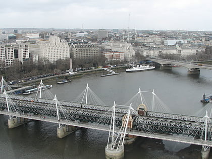
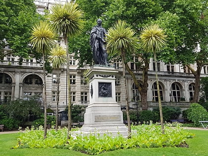
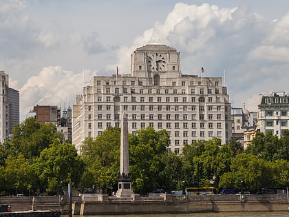
Nearby attractions include: Golden Jubilee Bridges, Victoria Embankment Gardens, Waterloo Bridge, Cleopatra's Needle.
Frequently Asked Questions (FAQ)
Which popular attractions are close to Victoria Embankment?
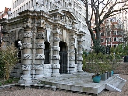
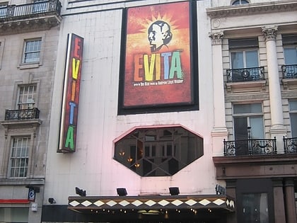
Nearby attractions include Bazalgette Memorial, London (2 min walk), York House, London (3 min walk), Whitehall House, London (3 min walk), Playhouse Theatre, London (3 min walk).
How to get to Victoria Embankment by public transport?
The nearest stations to Victoria Embankment:
Ferry
Metro
Train
Bus
Ferry
- Embankment • Lines: Green Tour, Rb1, Rb1X, Rb2, Rb6 (1 min walk)
- Festival Pier • Lines: Green Tour (5 min walk)
Metro
- Embankment • Lines: Bakerloo, Circle, District, Northern (1 min walk)
- Charing Cross • Lines: Bakerloo, Northern (6 min walk)
Train
- Charing Cross (3 min walk)
- London Waterloo (13 min walk)
Bus
- Bedford Street • Lines: N26 (5 min walk)
- Charing Cross Station • Lines: N26 (5 min walk)

 Tube
Tube