Vincent Square, London
Map
Gallery
Facts and practical information
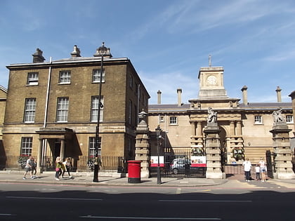
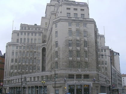
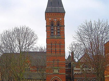
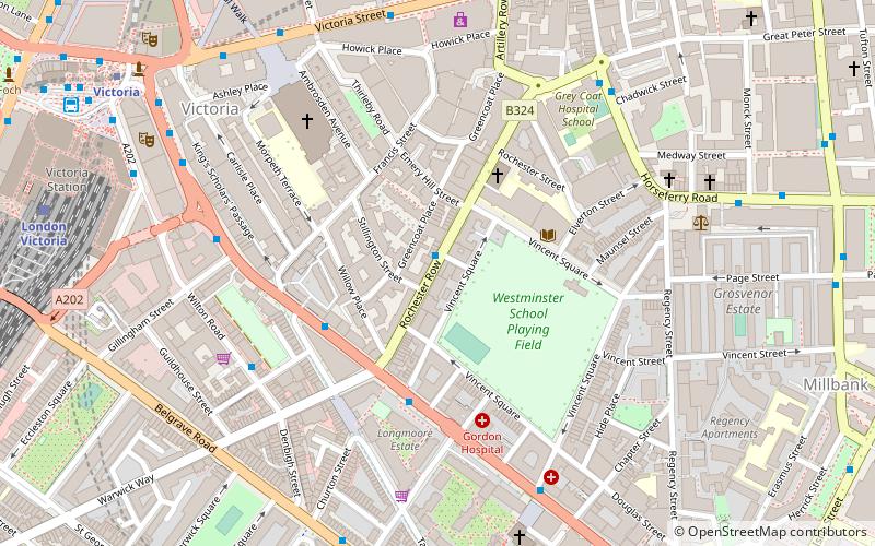
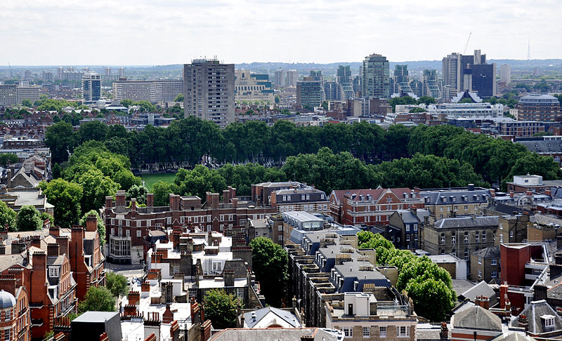
Vincent Square is a grass-covered square in Westminster, London, England, covering 13 acres, lined with mature trees including London Planes. In among a network of backstreets, it chiefly provides playing fields for Westminster School, who own it absolutely; otherwise, it functions as a green lung and a view for the homes, hotel and other organisations adjoining. Nine of its adjoining buildings have been given strict statutory architectural recognition and protection. ()
Address
City of Westminster (Vincent Square)London
ContactAdd
Social media
Add
Day trips
Vincent Square – popular in the area (distance from the attraction)
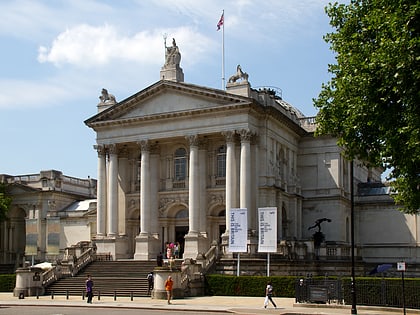
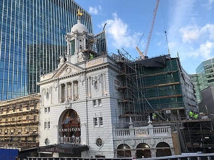
Nearby attractions include: Tate Britain, Westminster Cathedral, Royal Mews, Apollo Victoria Theatre.
Frequently Asked Questions (FAQ)
Which popular attractions are close to Vincent Square?
Nearby attractions include Westminster Cathedral, London (5 min walk), Big 4, London (6 min walk), St James the Less, London (6 min walk), Victoria, London (7 min walk).
How to get to Vincent Square by public transport?
The nearest stations to Vincent Square:
Bus
Train
Metro
Ferry
Bus
- Victoria Bus Station • Lines: 38, N38 (9 min walk)
- Victoria Station • Lines: 13, 16, 170, 185, 2, 36, 44, A6, C10, N136, N16, N2, N44 (9 min walk)
Train
- London Victoria (9 min walk)
- Vauxhall (22 min walk)
Metro
- Victoria • Lines: Circle, District, Victoria (9 min walk)
- Pimlico • Lines: Victoria (9 min walk)
Ferry
- Millbank Millennium Pier • Lines: Rb2 (14 min walk)
- St. George Wharf • Lines: Rb2 (18 min walk)

 Tube
Tube