High Holborn, London

Gallery (2)
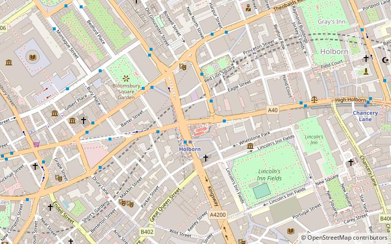
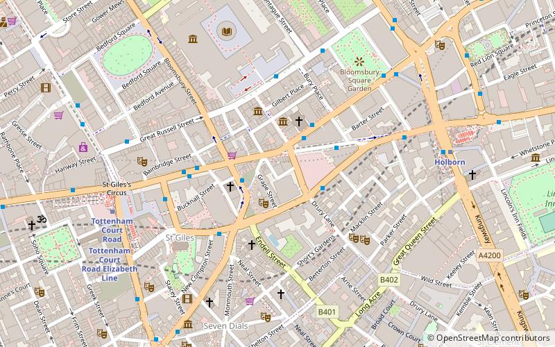
Map
Map
Gallery
Facts and practical information
High Holborn is a street in Holborn and Farringdon Without, Central London, which forms a part of the A40 route from London to Fishguard. It starts in the west at the eastern end of St Giles High Street and runs past the Kingsway and Southampton Row, becoming Holborn at its eastern junction with Gray's Inn Road. The western stretch as far as Drury Lane, was formerly known as Broad Street. On High Holborn, traffic flows one-way westbound from its junction with Drake Street to its western end, and flows both ways for the remainder. ()
Address
Camden (Holborn and Covent Garden)London
ContactAdd
Social media
Add
Getting there by public transportation
Public transportation stops near this location
- Metro
- Bus
- Train
- Ferry
 Metro
Metro
- Calculate routeHolborn 1 min walk
- Calculate routeChancery Lane 9 min walk
- Calculate routeCovent Garden 10 min walk
- Calculate routeRussell Square 11 min walk
- Calculate routeHolborn Station 1 min walk
- Calculate routeProcter Street 2 min walk
- Calculate routeHigh Holborn 2 min walk
- Calculate routeBloomsbury Square 3 min walk
- Calculate routeCity Thameslink 19 min walk
- Calculate routeCharing Cross 19 min walk
- Calculate routeLondon Blackfriars 23 min walk
- Calculate routeLondon Euston 26 min walk
- Calculate routeEmbankment 19 min walk
- Calculate routeFestival Pier 19 min walk
- Calculate routeBlackfriars Pier 25 min walk
- Calculate routeLondon Eye - Waterloo Pier 26 min walk
Maps Tube
Tube
TubeDay trips
High Holborn – popular in the area (distance from the attraction)
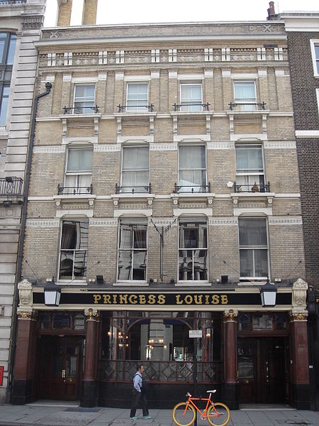
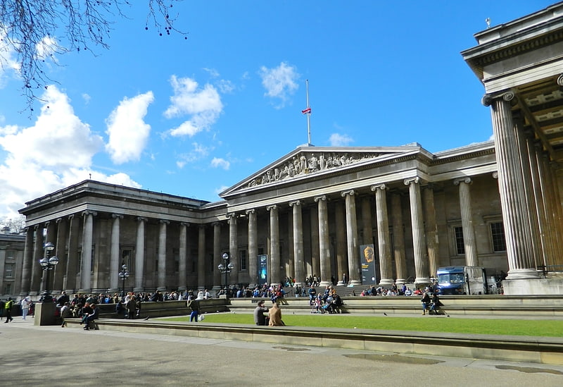
Nearby attractions include: British Museum, Oasis Sports Centre, Princess Louise, Sir John Soane's Museum.


Frequently Asked Questions (FAQ)
Which popular attractions are close to High Holborn?
Nearby attractions include Holborn, London (1 min walk), Aviation House, London (2 min walk), Church of St Anselm and St Cecilia, London (2 min walk), Sicilian Avenue, London (3 min walk).
How to get to High Holborn by public transport?
The nearest stations to High Holborn:
Metro
Bus
Train
Ferry
Metro
- Holborn • Lines: Central, Piccadilly (1 min walk)
- Chancery Lane • Lines: Central (9 min walk)
Bus
- Holborn Station • Lines: N242 (1 min walk)
- Procter Street • Lines: N242 (2 min walk)
Train
- City Thameslink (19 min walk)
- Charing Cross (19 min walk)
Ferry
- Embankment • Lines: Green Tour, Rb1, Rb1X, Rb2, Rb6 (19 min walk)
- Festival Pier • Lines: Green Tour (19 min walk)