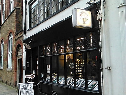
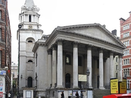
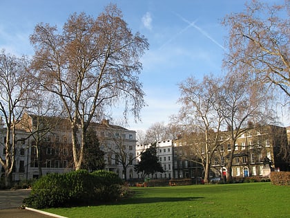
Cochrane Theatre, London
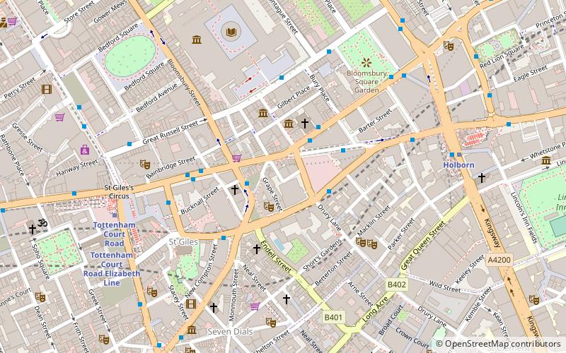
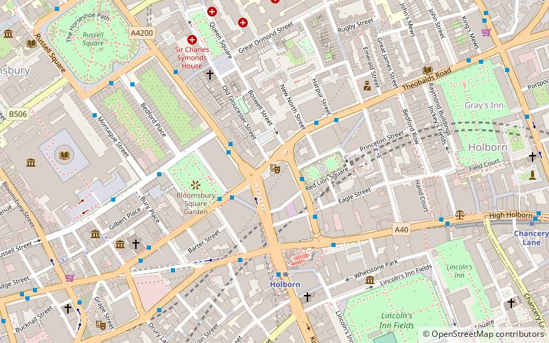
Map
Map

Facts and practical information
The Cochrane Theatre, previously known as the Jeanetta Cochrane Theatre, was a receiving and producing theatre situated in Holborn, London, that opened in 1964. It is now used for television filming. ()
Coordinates: 51°31'9"N, 0°7'13"W
Day trips
Cochrane Theatre – popular in the area (distance from the attraction)
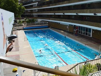
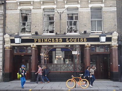
Nearby attractions include: British Museum, Oasis Sports Centre, Princess Louise, Sir John Soane's Museum.
Frequently Asked Questions (FAQ)
Which popular attractions are close to Cochrane Theatre?
Nearby attractions include Sicilian Avenue, London (2 min walk), Red Lion Square, London (2 min walk), Holborn, London (3 min walk), High Holborn, London (3 min walk).
How to get to Cochrane Theatre by public transport?
The nearest stations to Cochrane Theatre:
Bus
Metro
Train
Ferry
Bus
- Bloomsbury Square • Lines: 38, 55, N38, N55 (2 min walk)
- Procter Street • Lines: N242 (3 min walk)
Metro
- Holborn • Lines: Central, Piccadilly (4 min walk)
- Russell Square • Lines: Piccadilly (9 min walk)
Train
- City Thameslink (20 min walk)
- Charing Cross (21 min walk)
Ferry
- Embankment • Lines: Green Tour, Rb1, Rb1X, Rb2, Rb6 (22 min walk)
- Festival Pier • Lines: Green Tour (22 min walk)

 Tube
Tube
