Seven Dials Jazz Club, London
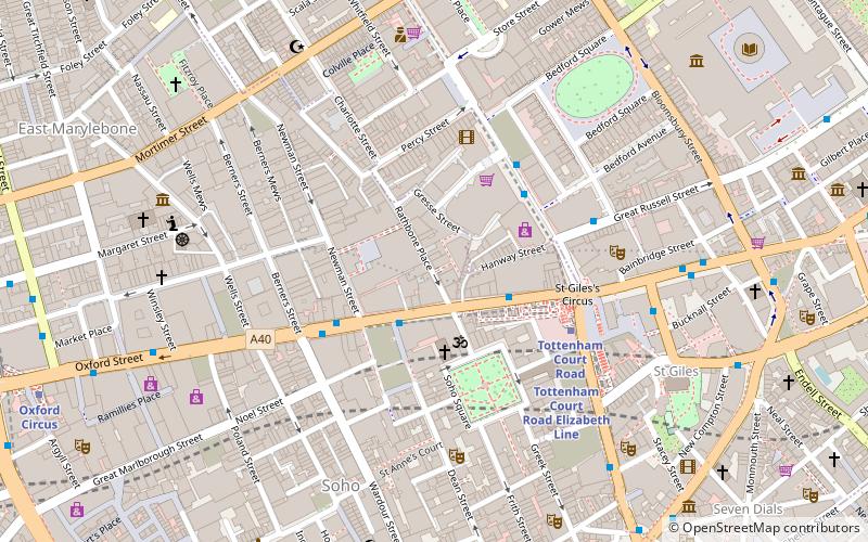
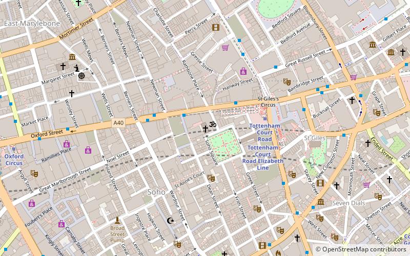
Map
Facts and practical information
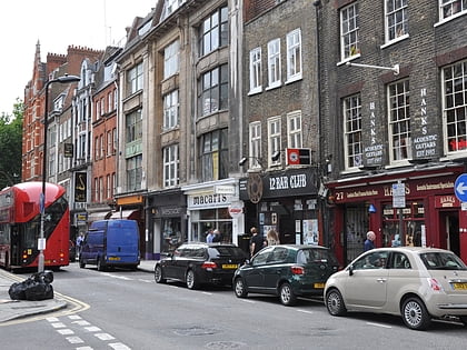
The Seven Dials Jazz Club opened its doors in 1980 as a venue for live music in Covent Garden, London. It hosted a range of artists and styles of jazz and began to attract a regular audience. Starting in 1983, a series of saxophone festivals was held on the premises each year. ()
Coordinates: 51°31'0"N, 0°7'60"W
Address
City of Westminster (West End)London
ContactAdd
Social media
Add
Day trips
Seven Dials Jazz Club – popular in the area (distance from the attraction)
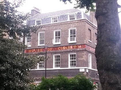
Nearby attractions include: Denmark Street, Hillsong Church UK, House of St Barnabas, Radha Krishna Temple.
Frequently Asked Questions (FAQ)
Which popular attractions are close to Seven Dials Jazz Club?
Nearby attractions include Radha Krishna Temple, London (2 min walk), French Protestant Church of London, London (2 min walk), Soho Square, London (3 min walk), Hillsong Church UK, London (4 min walk).
How to get to Seven Dials Jazz Club by public transport?
The nearest stations to Seven Dials Jazz Club:
Bus
Metro
Train
Ferry
Bus
- Oxford Street / Soho Street • Lines: 55, N55 (2 min walk)
- Tottenham Court Road Station • Lines: 24, 29, 390, 55, 73, 98, N20, N253, N279, N29, N5, N55, N73, N8, N98 (2 min walk)
Metro
- Tottenham Court Road • Lines: Central, Northern (3 min walk)
- Goodge Street • Lines: Northern (7 min walk)
Train
- Charing Cross (20 min walk)
- London Euston (22 min walk)
Ferry
- Embankment • Lines: Green Tour, Rb1, Rb1X, Rb2, Rb6 (22 min walk)
- Festival Pier • Lines: Green Tour (24 min walk)
 Tube
Tube