Up the Creek, London
Map
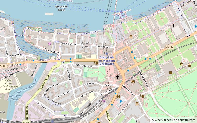
Map

Facts and practical information
Up the Creek is a comedy club on Creek Road in Greenwich, London. ()
Coordinates: 51°28'53"N, 0°0'41"W
Address
302 Creek Rd, SE10 9SWGreenwich (Greenwich West)London
Contact
+44 20 8858 4581
Social media
Add
Day trips
Up the Creek – popular in the area (distance from the attraction)
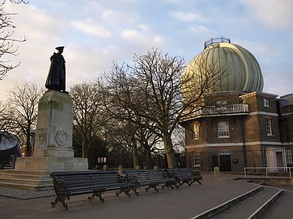
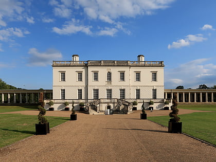
Nearby attractions include: National Maritime Museum, Royal Observatory, Greenwich Park, Old Royal Naval College.
Frequently Asked Questions (FAQ)
Which popular attractions are close to Up the Creek?
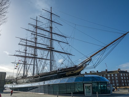
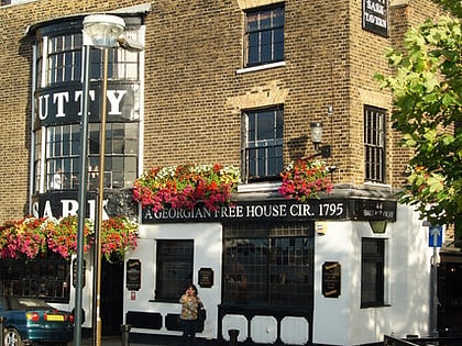
Nearby attractions include St Alfege Church, London (3 min walk), Cutty Sark, London (4 min walk), Greenwich foot tunnel, London (4 min walk), The Fan Museum, London (6 min walk).
How to get to Up the Creek by public transport?
The nearest stations to Up the Creek:
Light rail
Ferry
Bus
Train
Light rail
- Cutty Sark for Maritime Greenwich Platform 1 • Lines: B-L, S-L (2 min walk)
- Greenwich Platform 4 • Lines: B-L, S-L (8 min walk)
Ferry
- Greenwich Pier • Lines: Blue Tour, Rb1, Rb1X, Red Tour (6 min walk)
- Masthouse Terrace Pier • Lines: Rb1 (17 min walk)
Bus
- East Ferry Road • Lines: 277, N277 (11 min walk)
- Langbourne Place • Lines: 277, N277 (13 min walk)
Train
- Maze Hill (17 min walk)
- Deptford (18 min walk)

 Tube
Tube
