Ashley Lane, London

Gallery (2)
Map
Map
Gallery
Facts and practical information
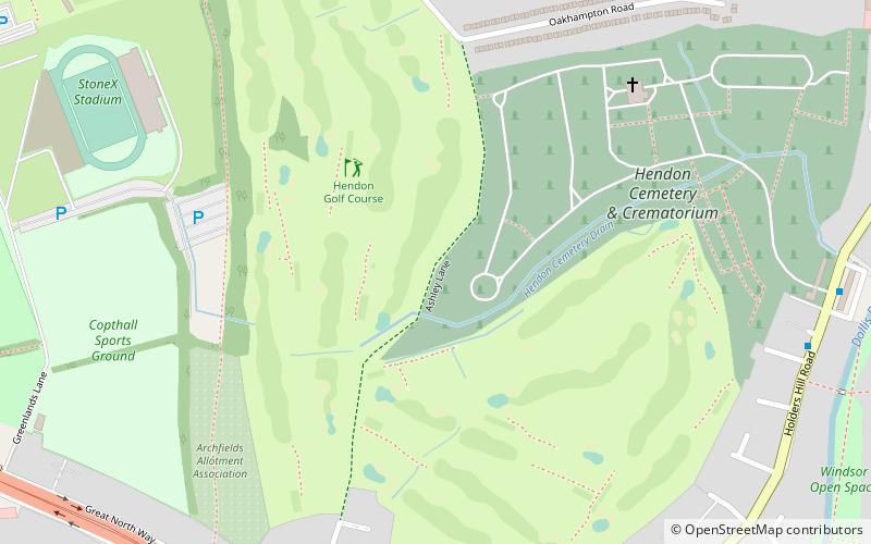
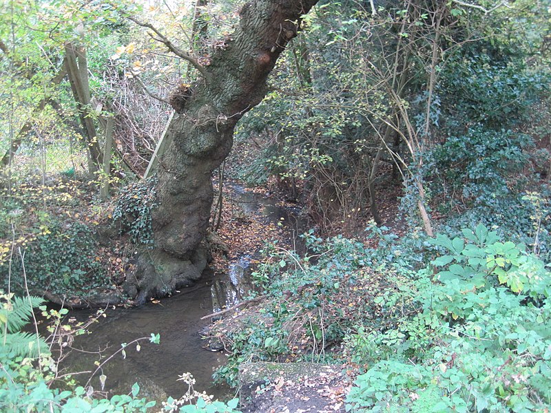
Ashley Lane is a one hectare Site of Borough Importance for Nature Conservation, Grade II, in Hendon in the London Borough of Barnet. It is over 400 years old, and was an important medieval road. Cardinal Wolsey travelled along it on his final journey to York in 1530. It is now a bridleway which runs between Hendon Golf Course and Hendon Cemetery. ()
Coordinates: 51°36'5"N, 0°13'1"W
Address
Barnet (Mill Hill)London
ContactAdd
Social media
Add
Getting there by public transportation
Public transportation stops near this location
- Metro
- Bus
 Metro
Metro
- Calculate routeHendon Cemetery 9 min walk
- Calculate routeHolders Hill Crescent 9 min walk
- Calculate routeGreat North Way 11 min walk
- Calculate routeMill Hill East 15 min walk
- Calculate routeFinchley Central 27 min walk
Maps Tube
Tube
TubeDay trips


Frequently Asked Questions (FAQ)
Which popular attractions are close to Ashley Lane?
Nearby attractions include Bittacy Hill Park, London (17 min walk), Copthall South Fields, London (18 min walk).
How to get to Ashley Lane by public transport?
The nearest stations to Ashley Lane:
Bus
Metro
Bus
- Hendon Cemetery • Lines: 240 (9 min walk)
- Holders Hill Crescent • Lines: 240 (9 min walk)
Metro
- Mill Hill East • Lines: Northern (15 min walk)
- Finchley Central • Lines: Northern (27 min walk)