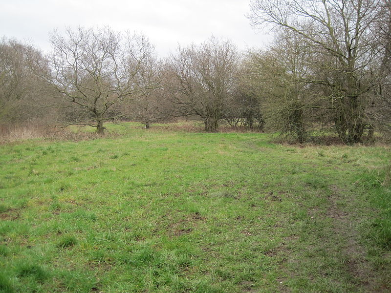
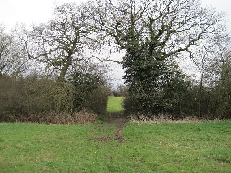
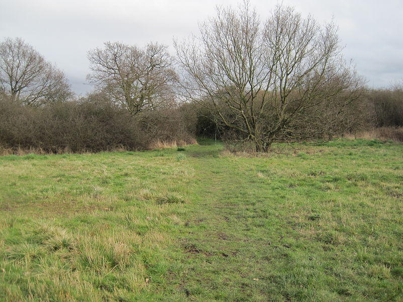
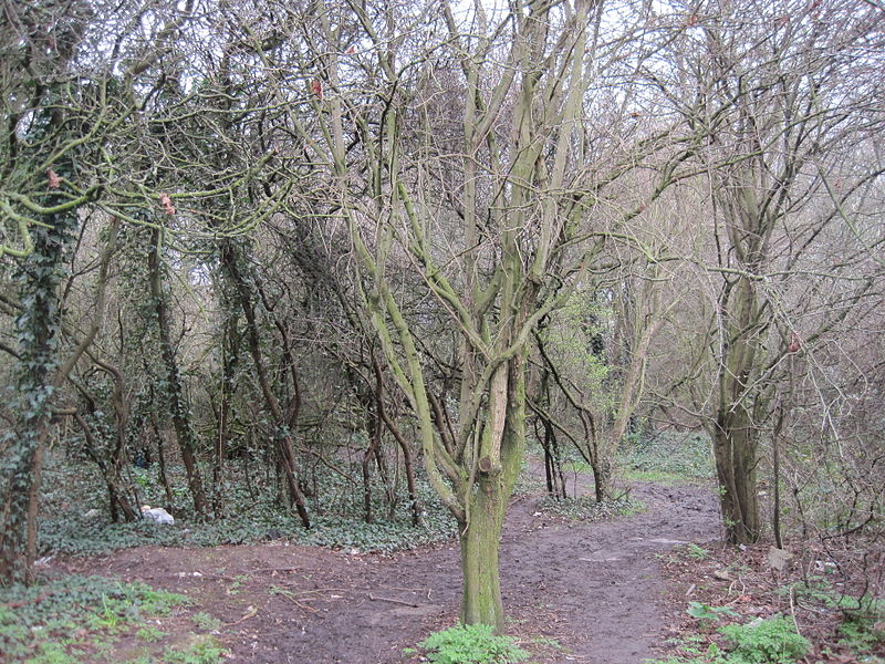
Copthall South Fields, London
Map
Gallery

Facts and practical information
Copthall South Fields is a six hectare Site of Local Importance for Nature Conservation, next to Fiveways Corner on the A1, in Mill Hill in the London Borough of Barnet. ()
Coordinates: 51°36'7"N, 0°13'59"W
Address
Barnet (Mill Hill)London
ContactAdd
Social media
Add
Day trips
Copthall South Fields – popular in the area (distance from the attraction)
Nearby attractions include: RAF Museum, Allianz Park, Ashley Lane, John Keble Church.
Frequently Asked Questions (FAQ)
Which popular attractions are close to Copthall South Fields?
Nearby attractions include RAF Museum, London (10 min walk), Ashley Lane, London (18 min walk), Arrandene Open Space and Featherstone Hill, London (20 min walk), UCL Observatory, London (23 min walk).
How to get to Copthall South Fields by public transport?
The nearest stations to Copthall South Fields:
Bus
Metro
Train
Bus
- Five Ways Corner Copthall Sports Centre • Lines: 113, N113 (3 min walk)
- Westside • Lines: 113, N113 (5 min walk)
Metro
- Colindale • Lines: Northern (22 min walk)
- Mill Hill East • Lines: Northern (28 min walk)
Train
- Mill Hill Broadway (26 min walk)


 Tube
Tube


