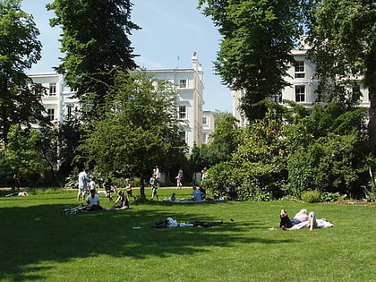
Emslie Horniman's Pleasance, London
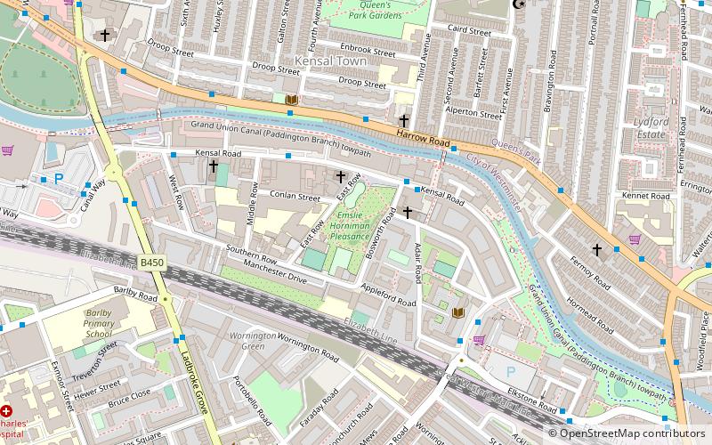
Map
Map

Facts and practical information
Emslie Horniman's Pleasance is a park in the Borough of Kensington and Chelsea in London. Named after the London County Councillor Emslie John Horniman who created it, and opened in 1914. It is the traditional starting point for the Notting Hill Carnival. ()
Elevation: 89 ft a.s.l.Coordinates: 51°31'31"N, 0°12'33"W
Address
Kensington and Chelsea (Golborne)London
ContactAdd
Social media
Add
Day trips
Emslie Horniman's Pleasance – popular in the area (distance from the attraction)
Nearby attractions include: Portobello Road, Westbourne Grove, Kensal Green Cemetery, Canal Cafe Theatre.
Frequently Asked Questions (FAQ)
Which popular attractions are close to Emslie Horniman's Pleasance?
Nearby attractions include Trellick Tower, London (6 min walk), Golborne Road, London (7 min walk), Dissenters' Chapel, London (8 min walk), Museum of Brands, London (16 min walk).
How to get to Emslie Horniman's Pleasance by public transport?
The nearest stations to Emslie Horniman's Pleasance:
Bus
Metro
Train
Bus
- Bosworth Road • Lines: 23 (2 min walk)
- Alderson Street • Lines: 23 (3 min walk)
Metro
- Ladbroke Grove • Lines: Circle, Hammersmith & City (15 min walk)
- Queen's Park • Lines: Bakerloo (16 min walk)
Train
- Kensal Rise (21 min walk)
- Brondesbury Park (27 min walk)

 Tube
Tube
