Euston Road, London
Map

Gallery
Facts and practical information
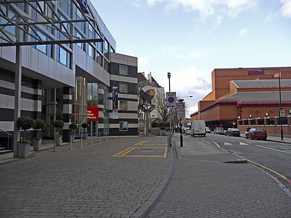
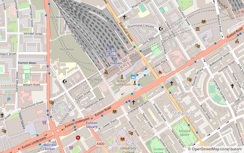
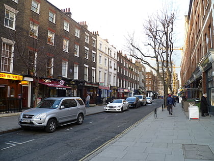
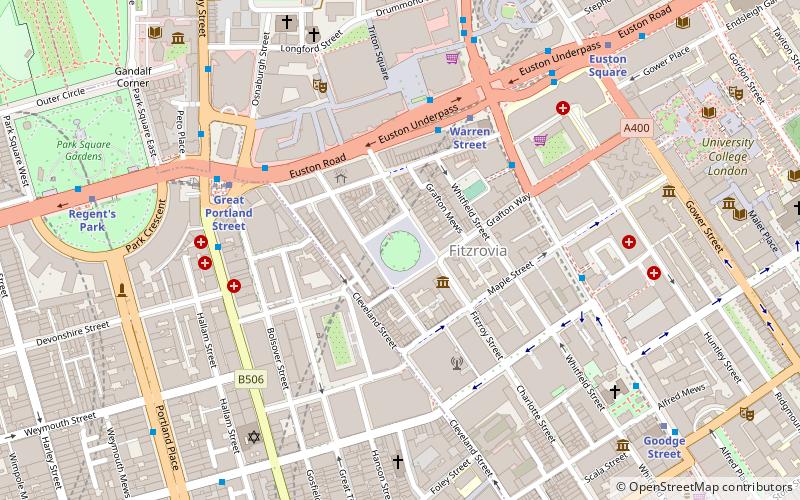
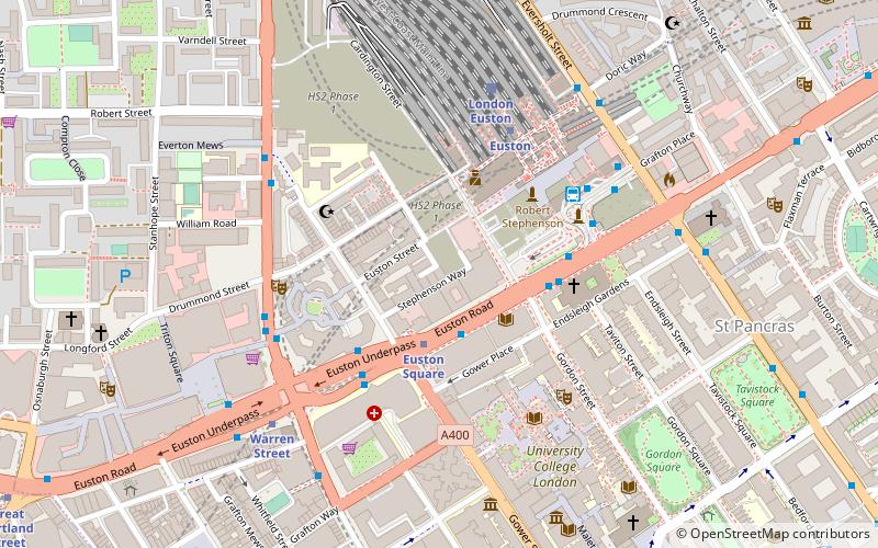
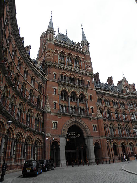
Euston Road is a road in Central London that runs from Marylebone Road to King's Cross. The route is part of the London Inner Ring Road and forms part of the London congestion charge zone boundary. It is named after Euston Hall, the family seat of the Dukes of Grafton, who had become major property owners in the area during the mid-19th century. ()
Address
Camden (Regent's Park)London
ContactAdd
Social media
Add
Day trips
Euston Road – popular in the area (distance from the attraction)
Nearby attractions include: BT Tower, Grant Museum of Zoology, Shaw Theatre, Euston Tap.
Frequently Asked Questions (FAQ)
Which popular attractions are close to Euston Road?
Nearby attractions include Wellcome Collection, London (1 min walk), The Magic Circle, London (2 min walk), Piscator, London (2 min walk), University College London, London (3 min walk).
How to get to Euston Road by public transport?
The nearest stations to Euston Road:
Metro
Bus
Train
Metro
- Euston Square • Lines: Circle, Hammersmith & City, Metropolitan (2 min walk)
- Euston • Lines: Northern, Victoria (5 min walk)
Bus
- Euston Square Station • Lines: 30, N253 (3 min walk)
- Euston Bus Station • Lines: 253, N253 (4 min walk)
Train
- London Euston (5 min walk)
- London St. Pancras International (13 min walk)

 Tube
Tube

