Atlantic Wharf, Cardiff
Map
Gallery
Facts and practical information
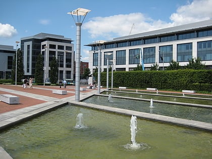
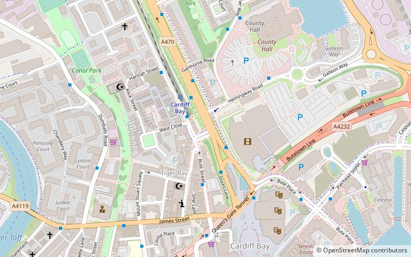
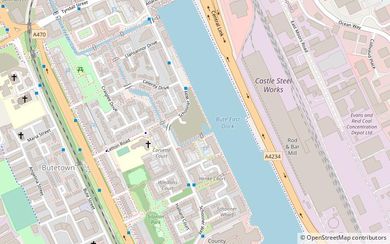
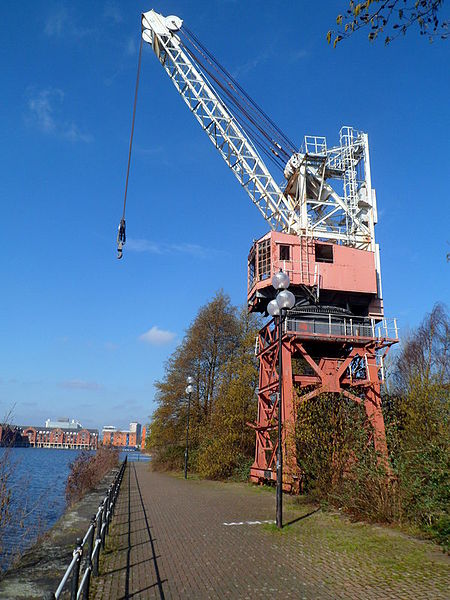
Atlantic Wharf is a southern area of the city of Cardiff, Wales. It is primarily an area of new houses and apartments located on the west side of the disused Bute East Dock and to the east of Lloyd George Avenue. It also includes a number of refurbished dock warehouses, modern hotels, the Red Dragon Centre and Cardiff Council's County Hall. Atlantic Wharf lies in the Butetown electoral division of Cardiff and the Cardiff South and Penarth constituency for the UK Parliament and the Senedd. ()
Coordinates: 51°28'23"N, 3°9'54"W
Address
Caerdydd Wouth (Tre-biwt)Cardiff
ContactAdd
Social media
Add
Day trips
Atlantic Wharf – popular in the area (distance from the attraction)
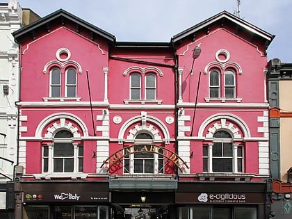
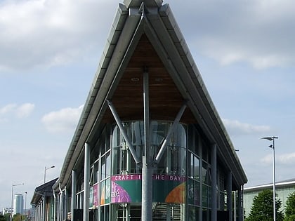
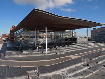
Nearby attractions include: Wales Millennium Centre, Cardiff International Arena, Royal Arcade, Roald Dahl Plass.
Frequently Asked Questions (FAQ)
Which popular attractions are close to Atlantic Wharf?
Nearby attractions include Bute Street, Cardiff (7 min walk), Loudoun Square, Cardiff (7 min walk), Tŷ Pont Haearn, Cardiff (11 min walk), Butetown, Cardiff (11 min walk).
How to get to Atlantic Wharf by public transport?
The nearest stations to Atlantic Wharf:
Train
Bus
Train
- Cardiff Bay (10 min walk)
- Cardiff Central (17 min walk)
Bus
- Bute Terrace JK • Lines: 8 (13 min walk)
- Custom House Street • Lines: 304/303, T9 (13 min walk)


