South Bank Tower, London
Map
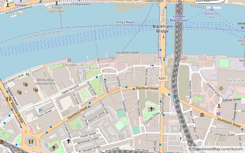
Map

Facts and practical information
Southbank Tower is a high-rise building in Stamford Street, Southwark, London. It was originally a thirty-storey structure 111 metres high and was completed in 1972, designed by the architect Richard Seifert and built by John Laing. In recent years, the tower has undergone extensive redevelopment and a height increase. ()
Coordinates: 51°30'28"N, 0°6'26"W
Address
Stamford StreetSouthwark (Cathedrals)London
ContactAdd
Social media
Add
Day trips
South Bank Tower – popular in the area (distance from the attraction)
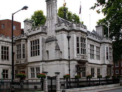
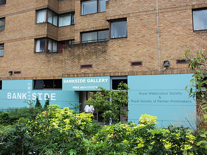
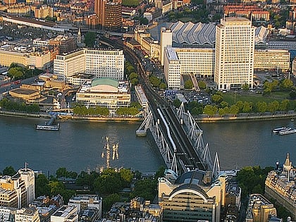
Nearby attractions include: Tate Modern, Two Temple Place, Bankside Gallery, Southbank Centre.
Frequently Asked Questions (FAQ)
Which popular attractions are close to South Bank Tower?
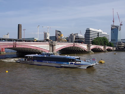
Nearby attractions include Oxo Tower, London (2 min walk), South Bank, London (3 min walk), One Blackfriars, London (3 min walk), Blackfriars Bridge, London (4 min walk).
How to get to South Bank Tower by public transport?
The nearest stations to South Bank Tower:
Train
Metro
Ferry
Bus
Light rail
Train
- Waterloo East (7 min walk)
- London Blackfriars (7 min walk)
Metro
- Southwark • Lines: Jubilee (7 min walk)
- Temple • Lines: Circle, District (10 min walk)
Ferry
- Blackfriars Pier • Lines: Rb6 (9 min walk)
- Bankside Pier • Lines: Green Tour, Rb1, Rb1X, Rb2 (12 min walk)
Bus
- Waterloo Station / Waterloo Road • Lines: 26 (9 min walk)
- Waterloo Station / Tenison Way • Lines: 243 (9 min walk)
Light rail
- Bank Platform 10 • Lines: B-L, B-Wa (23 min walk)

 Tube
Tube
