Stoke Newington Common, London
Map

Gallery

Facts and practical information
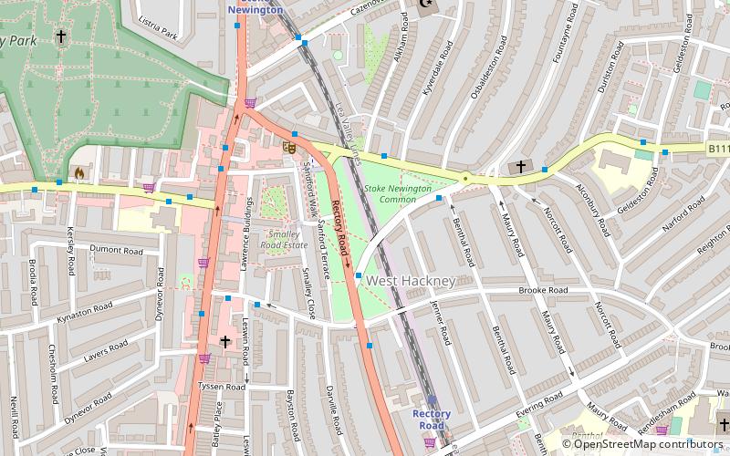
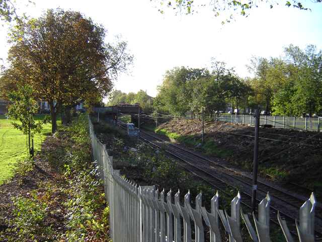
Stoke Newington Common is an open space in the London Borough of Hackney. It lies between Brooke Road to the south and Northwold Road to the north, straddling a railway line and the busy Rectory Road. The Common is 2.15 hectares in area. ()
Elevation: 79 ft a.s.l.Coordinates: 51°33'42"N, 0°4'13"W
Address
Hackney (Hackney Downs)London
ContactAdd
Social media
Add
Day trips
Stoke Newington Common – popular in the area (distance from the attraction)
Nearby attractions include: Abney Park, Lee Valley Ice Centre, Clissold Park, Abney Park Chapel.
Frequently Asked Questions (FAQ)
Which popular attractions are close to Stoke Newington Common?
Nearby attractions include Campbell Works, London (7 min walk), Abney Park Chapel, London (9 min walk), Abney Park, London (10 min walk), Crimes Town Gallery, London (11 min walk).
How to get to Stoke Newington Common by public transport?
The nearest stations to Stoke Newington Common:
Bus
Train
Metro
Bus
- Stoke Newington Common • Lines: 106, 276, 393, 73 (1 min walk)
- Northwold Road / Stoke Newington Common • Lines: 106, 149, 243, 276, 393, 476, 67, 73, 76, N73 (4 min walk)
Train
- Rectory Road (5 min walk)
- Stoke Newington (7 min walk)
Metro
- Manor House • Lines: Piccadilly (33 min walk)

 Tube
Tube


