Selfridges, London
Map
Gallery
Facts and practical information
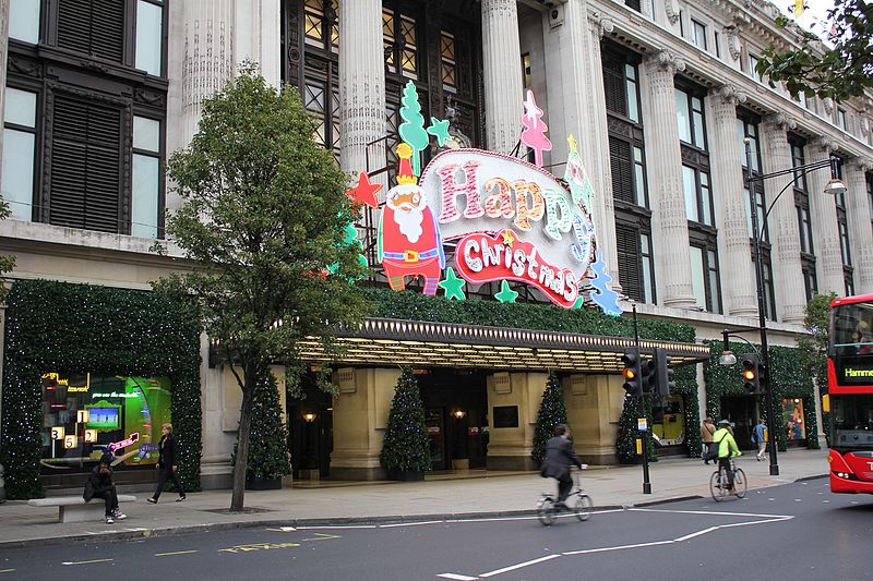
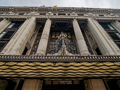
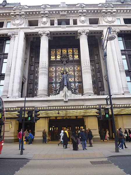
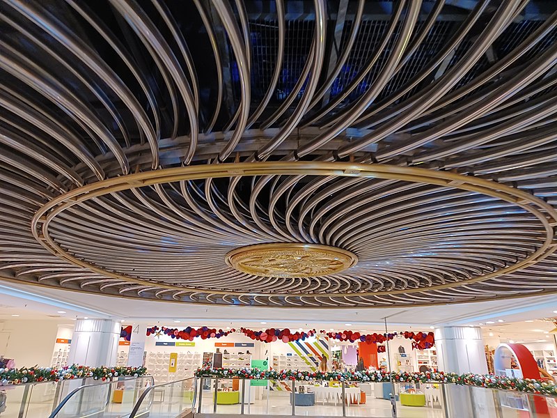
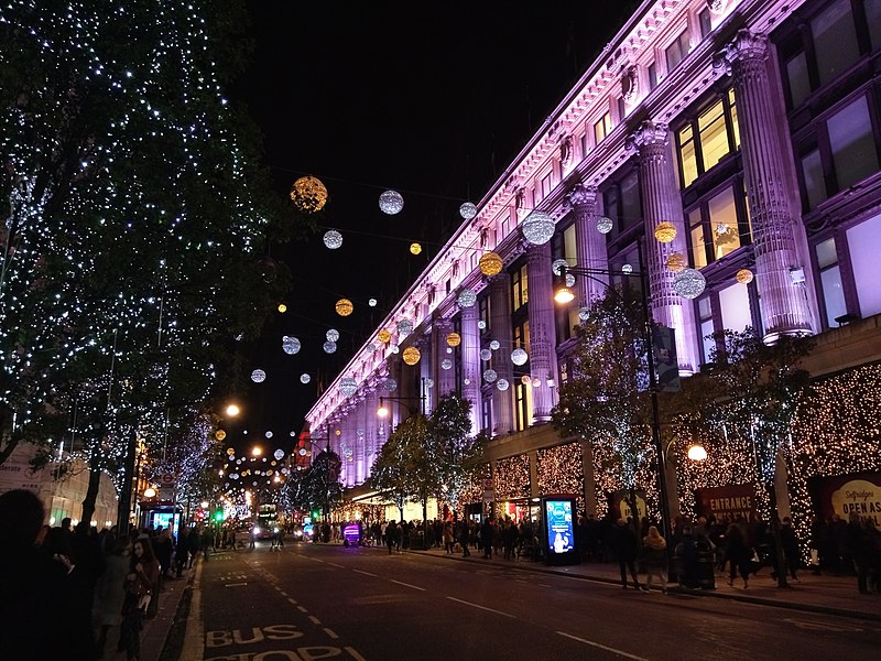
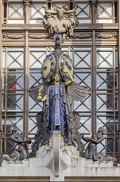
Selfridges is a Grade II* listed retail premises on Oxford Street in London. It was designed by Daniel Burnham for Harry Gordon Selfridge, and opened in 1909. Still the headquarters of Selfridge & Co. department stores, with 540,000 square feet of selling space, the store is the second largest retail premises in the UK, half as big as the biggest department store in Europe, Harrods. It was named the world's best department store in 2010, and again in 2012. ()
Coordinates: 51°30'53"N, 0°9'10"W
Address
400 Oxford St, W1A 1ABCity of Westminster (Marylebone)London
Contact
+44 113 369 8040
Social media
Add
Day trips
Selfridges – popular in the area (distance from the attraction)
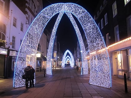
Nearby attractions include: Bond Street, Wallace Collection, Marylebone High Street, South Molton Street.
Frequently Asked Questions (FAQ)
Which popular attractions are close to Selfridges?
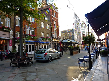
Nearby attractions include St Christopher's Place, London (3 min walk), Brown Hart Gardens, London (4 min walk), Ukrainian Catholic Cathedral of the Holy Family in Exile, London (4 min walk), Portman Square, London (4 min walk).
How to get to Selfridges by public transport?
The nearest stations to Selfridges:
Bus
Metro
Train
Bus
- Portman Street / Marble Arch Station • Lines: 30 (4 min walk)
- George Street • Lines: 30 (7 min walk)
Metro
- Bond Street • Lines: Central, Jubilee (5 min walk)
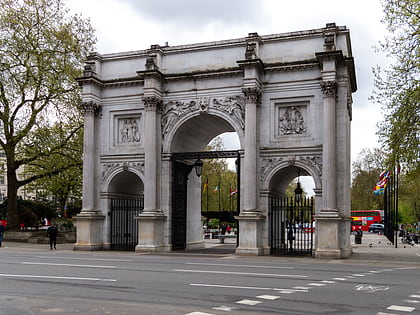
- Marble Arch • Lines: Central (7 min walk)
Train
- London Marylebone (21 min walk)
- London Paddington (28 min walk)


 Tube
Tube


