St Christopher's Place, London
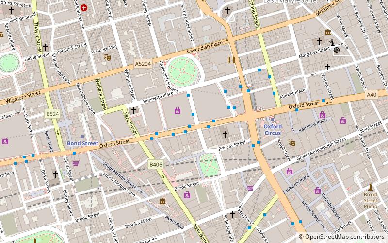
Map
Gallery
Facts and practical information
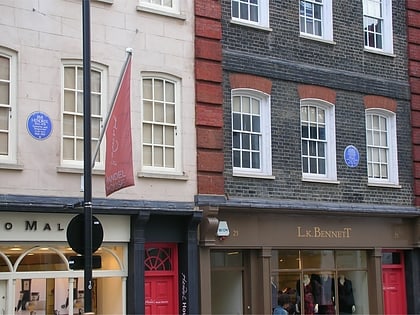
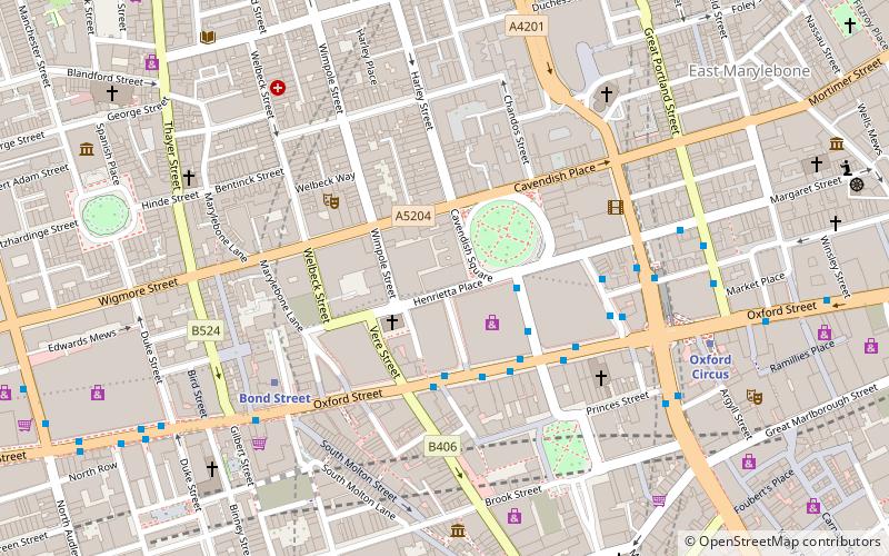
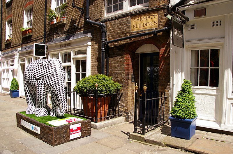
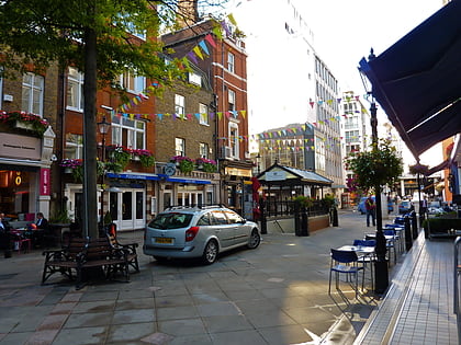
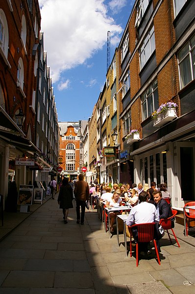
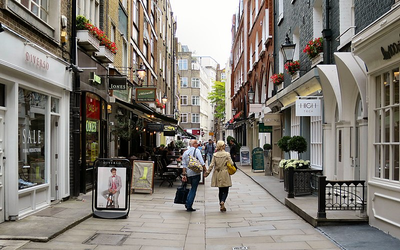
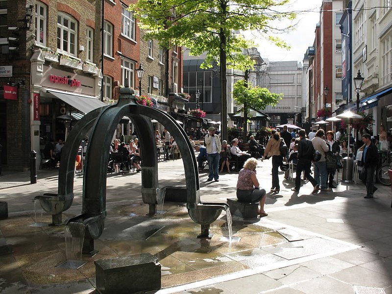
St. Christopher's Place is a short pedestrianised shopping street in Marylebone, central London between Oxford Street and Wigmore Street. Its retail units are smaller and higher-end than the major chains located on Oxford Street, similar to nearby South Molton Street. ()
Coordinates: 51°30'54"N, 0°9'1"W
Address
23 Barrett StCity of Westminster (Marylebone)London W1U 1BF
Contact
+44 20 7493 3294
Social media
Add
Day trips
St Christopher's Place – popular in the area (distance from the attraction)
Nearby attractions include: Oxford Street, Bond Street, Wallace Collection, Marylebone High Street.
Frequently Asked Questions (FAQ)
When is St Christopher's Place open?
St Christopher's Place is open:
- Monday 7 am - 10:30 pm
- Tuesday 7 am - 10:30 pm
- Wednesday 7 am - 10:30 pm
- Thursday 7 am - 10:30 pm
- Friday 7 am - 10:30 pm
- Saturday 9 am - 11 pm
- Sunday 12 pm - 10 pm
Which popular attractions are close to St Christopher's Place?
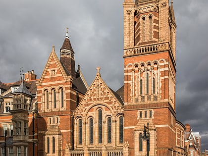
Nearby attractions include Marylebone Lane, London (3 min walk), Ukrainian Catholic Cathedral of the Holy Family in Exile, London (3 min walk), Wigmore Hall, London (4 min walk), Brown Hart Gardens, London (4 min walk).
How to get to St Christopher's Place by public transport?
The nearest stations to St Christopher's Place:
Metro
Bus
Train
Ferry
Metro
- Bond Street • Lines: Central, Jubilee (2 min walk)
- Marble Arch • Lines: Central (10 min walk)
Bus
- Oxford Circus Station / John Lewis • Lines: 390, 7, 98, N207, N7, N98 (7 min walk)
- Holles Street • Lines: 55, 73, N55 (7 min walk)
Train
- London Marylebone (22 min walk)
- London Euston (30 min walk)
Ferry
- Westminster Pier • Lines: Blue Tour, Green Tour, Rb1, Rb1X, Rb2, Red Tour (38 min walk)


 Tube
Tube