Drumbrae, Edinburgh
Map
Facts and practical information
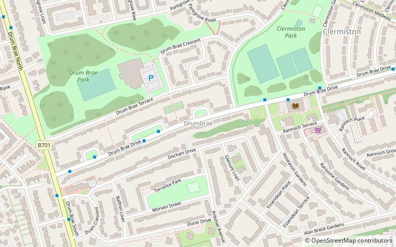
Drumbrae or Drum Brae is the name of a suburb of west Edinburgh, Scotland generally considered to be part of the neighbouring larger areas of Corstorphine and Clermiston. This is a commuter settlement as many people who live in the area travel to the centre of town to attend work. ()
Coordinates: 55°57'18"N, 3°17'29"W
Address
DrumbraeEdinburgh
ContactAdd
Social media
Add
Getting there by public transportation
Public transportation stops near this location
- Bus
- Tram
- Train
 Bus
Bus
- Calculate routeDrum Brae Drive 3 min walk
- Calculate routeHoseason Gardens 4 min walk
- Calculate routeEdinburgh Gateway 38 min walk
- Calculate routeEdinburgh Gateway 40 min walk
- Calculate routeGyle Centre 40 min walk
Day trips


Frequently Asked Questions (FAQ)
Which popular attractions are close to Drumbrae?
Nearby attractions include Buttercup Farm Park, Edinburgh (8 min walk), Clermiston, Edinburgh (8 min walk), Barnton Quarry, Edinburgh (16 min walk), East Craigs, Edinburgh (17 min walk).
How to get to Drumbrae by public transport?
The nearest stations to Drumbrae:
Bus
Train
Tram
Bus
- Drum Brae Drive • Lines: 1, 200, 21, 26 (3 min walk)
- Hoseason Gardens • Lines: 1, 200, 21, 26 (4 min walk)
Train
- Edinburgh Gateway (38 min walk)
Tram
- Edinburgh Gateway • Lines: Edinburgh Trams Eastbound, Edinburgh Trams Westbound (40 min walk)
- Gyle Centre • Lines: Edinburgh Trams Eastbound, Edinburgh Trams Westbound (40 min walk)