Corstorphine, Edinburgh
Map
Gallery
Facts and practical information
Corstorphine is a village and parish to the west of Edinburgh, now considered a suburb of that city and formally incorporated into it in 1920. ()
Coordinates: 55°56'26"N, 3°16'41"W
Address
CorstorphineEdinburgh
ContactAdd
Social media
Add
Day trips
Corstorphine – popular in the area (distance from the attraction)
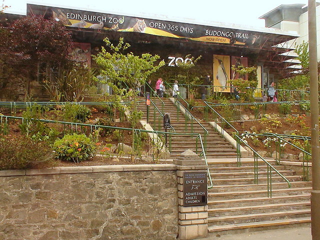
Nearby attractions include: Edinburgh Zoo, St Joseph's RC Church, Corstorphine Hill, Craigcrook Castle.
Frequently Asked Questions (FAQ)
Which popular attractions are close to Corstorphine?
Nearby attractions include Corstorphine Old Parish Church, Edinburgh (4 min walk), Edinburgh Zoo, Edinburgh (11 min walk), Carrick Knowe, Edinburgh (14 min walk), Wester Broom, Edinburgh (15 min walk).
How to get to Corstorphine by public transport?
The nearest stations to Corstorphine:
Bus
Tram
Train
Bus
- St John's Terrace • Lines: 26, 31 (4 min walk)
- Kirk Loan • Lines: 1 (4 min walk)
Tram
- Saughton • Lines: Edinburgh Trams Eastbound, Edinburgh Trams Westbound (15 min walk)
- Bankhead • Lines: Edinburgh Trams Eastbound, Edinburgh Trams Westbound (26 min walk)
Train
- South Gyle (23 min walk)
- Edinburgh Park (38 min walk)


