Brockley and Ladywell Cemeteries, London
Map

Gallery

Facts and practical information
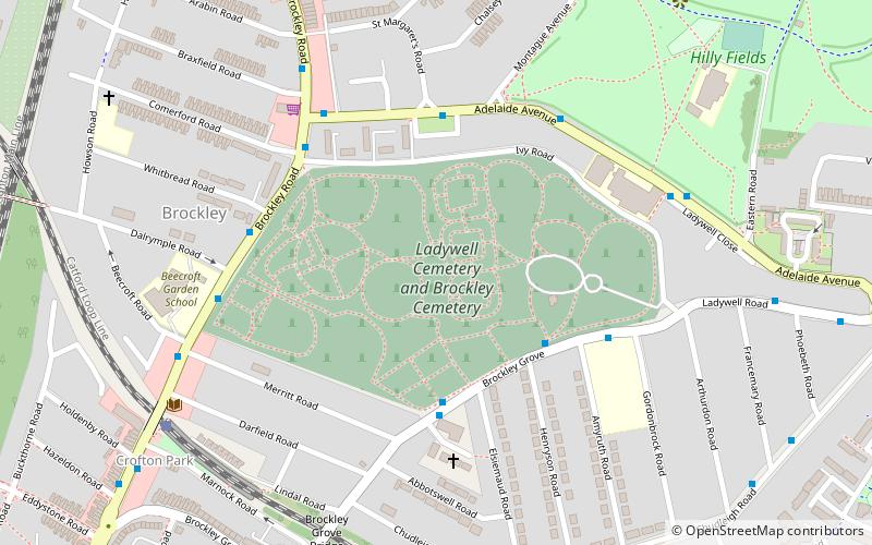
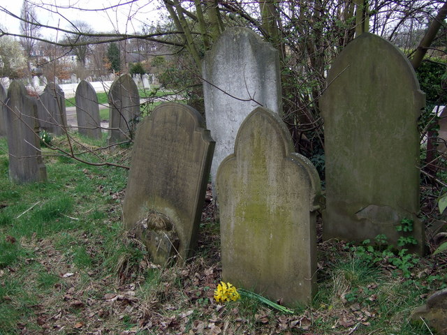
Brockley and Ladywell Cemeteries were opened within one month of each other in 1858 and are sited on adjacent plots of previously open land. The two component parts are characteristic examples of the first wave of Victorian public cemeteries and are now part of the Brockley Conservation Area. ()
Coordinates: 51°27'26"N, 0°1'53"W
Address
Lewisham (Ladywell)London
ContactAdd
Social media
Add
Day trips
Brockley and Ladywell Cemeteries – popular in the area (distance from the attraction)
Nearby attractions include: Lewisham Shopping Centre, Nunhead Cemetery, Lewisham Town Hall, Brookmill Park.
Frequently Asked Questions (FAQ)
How to get to Brockley and Ladywell Cemeteries by public transport?
The nearest stations to Brockley and Ladywell Cemeteries:
Bus
Train
Light rail
Bus
- Henryson Road / Brockley Cemetery • Lines: P4 (3 min walk)
- Huxbear Street • Lines: P4 (3 min walk)
Train
- Crofton Park (7 min walk)
- Ladywell (14 min walk)
Light rail
- Lewisham Platform 6 • Lines: B-L, S-L (25 min walk)
- Elverson Road Platform 2 • Lines: B-L, S-L (27 min walk)

 Tube
Tube


