Lewisham, London
Map
Gallery
Facts and practical information
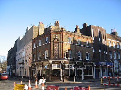
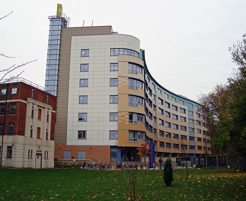
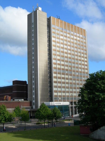
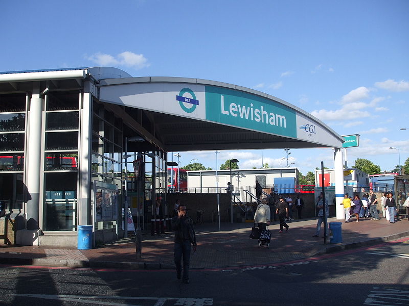
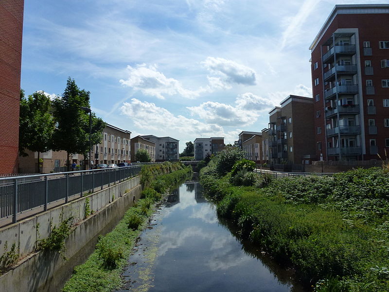
Lewisham is an area of south-east London, England, 5.9 miles south of Charing Cross. It is the principal area of the London Borough of Lewisham, and is also within the historic county of Kent. It is identified in the London Plan as one of 35 major centres in Greater London, with a large shopping centre and street market. ()
Address
Lewisham (Lewisham Central)London
ContactAdd
Social media
Add
Day trips
Lewisham – popular in the area (distance from the attraction)
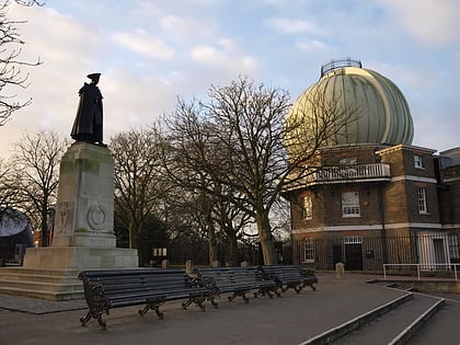
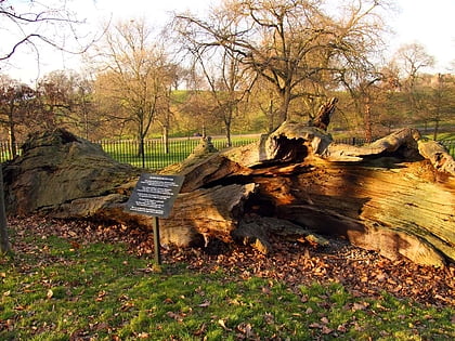
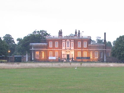
Nearby attractions include: Royal Observatory, Greenwich Park, Lewisham Shopping Centre, Queen Elizabeth's Oak.
Frequently Asked Questions (FAQ)
Which popular attractions are close to Lewisham?
Nearby attractions include Boone's Chapel, London (11 min walk), Manor House Gardens, London (16 min walk), Blackheath Halls, London (18 min walk), Jack Cade's Cavern, London (21 min walk).
How to get to Lewisham by public transport?
The nearest stations to Lewisham:
Bus
Light rail
Train
Bus
- Marischal Road • Lines: 122, 178, 261, 273, 321, 621, N21 (2 min walk)
- Belmont Park • Lines: 122, 178, 261, 273, 321, 621, N21 (4 min walk)
Light rail
- Lewisham Platform 5 • Lines: B-L, S-L (11 min walk)
- Elverson Road Platform 2 • Lines: B-L, S-L (18 min walk)
Train
- Lewisham (12 min walk)
- Blackheath (18 min walk)



 Tube
Tube