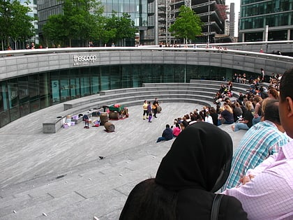
Bermondsey Square, London
Map
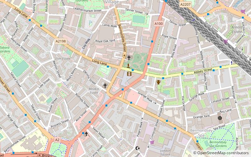
Map

Facts and practical information
Bermondsey Square is on Tower Bridge Road in Bermondsey, south London, England. It was the site of the 11th century Bermondsey Abbey. The earliest medieval remains found are a Norman church from around 1080, which was recorded in the Domesday Book. The area has subsequently undergone redevelopment and Bermondsey Square now contains apartments, offices, a boutique hotel, restaurants, an independent cinema and Bermondsey Market. ()
Coordinates: 51°29'51"N, 0°4'52"W
Address
144 – 152 Bermondsey Street, SE1 3TQSouthwark (Chaucer)London
Contact
+44 20 7930 5373
Social media
Add
Day trips
Bermondsey Square – popular in the area (distance from the attraction)
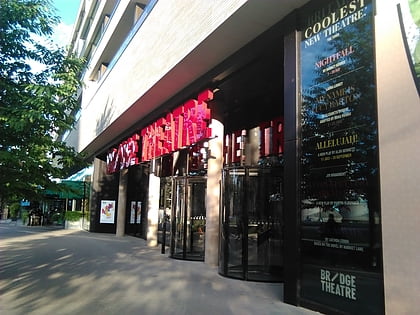
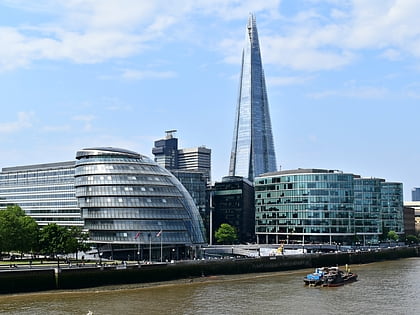
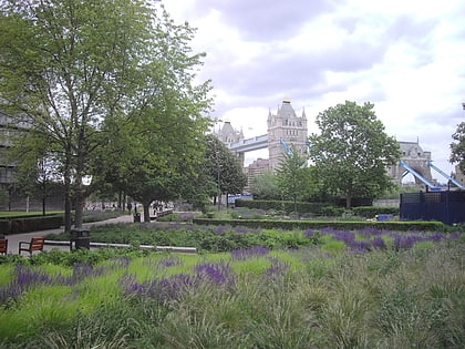
Nearby attractions include: Tower Bridge, City Hall, Bridge Theatre, The Shard.
Frequently Asked Questions (FAQ)
Which popular attractions are close to Bermondsey Square?
Nearby attractions include Bermondsey Market, London (1 min walk), Bermondsey Abbey, London (1 min walk), St Mary Magdalen Bermondsey, London (2 min walk), Fashion and Textile Museum, London (2 min walk).
How to get to Bermondsey Square by public transport?
The nearest stations to Bermondsey Square:
Bus
Metro
Ferry
Train
Light rail
Bus
- Druid Street • Lines: 42 (8 min walk)
- Alscot Road • Lines: 1, 78, N1 (11 min walk)
Metro
- Borough • Lines: Northern (15 min walk)
- London Bridge • Lines: Jubilee, Northern (16 min walk)
Ferry
- Saint Katharine's Pier • Lines: Blue Tour, Green Tour (18 min walk)
- London Bridge City Pier • Lines: Rb1, Rb1X, Rb2, Rb6 (18 min walk)
Train
- Elephant & Castle (21 min walk)
- London Fenchurch Street (25 min walk)
Light rail
- Tower Gateway Platform 1 • Lines: Tg-B (25 min walk)
- Bank Platform 9 • Lines: B-L, B-Wa (27 min walk)

 Tube
Tube

