Lantern Theatre, Sheffield
Map
Facts and practical information
The Lantern Theatre is a small Sheffield theatre built in 1893 and is Sheffield's oldest theatre. The Lantern Theatre is a former professional theatre venue and arts centre that houses small and mid-scale theatre, music, and comedy. ()
Coordinates: 53°21'54"N, 1°29'10"W
Getting there by public transportation
Public transportation stops near this location
- Bus
- Tram
- Train
 Bus
Bus
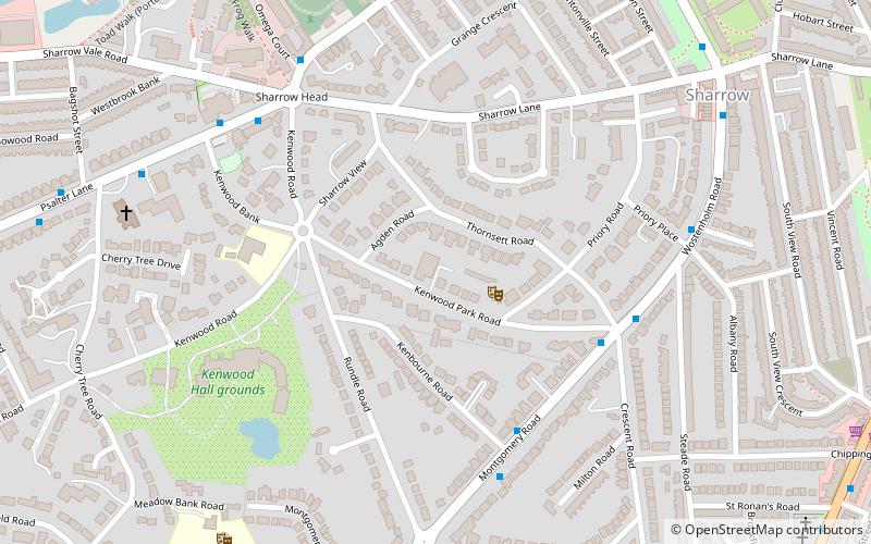
- Calculate routeWolstenholme Road/Kenwood Park Road 4 min walk
- Calculate routeMontgomery Road/Kenbourne Road 5 min walk
- Calculate routePsalter Lane/The Stag 6 min walk
- Calculate routeCemetery Road/Sharrow Vale Road 6 min walk
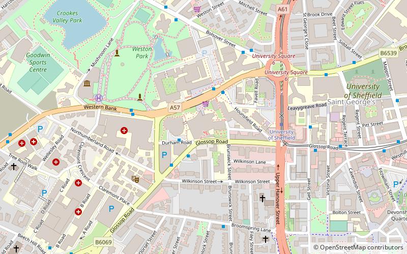
- Calculate routeUniversity of Sheffield 28 min walk
- Calculate routeWest Street 29 min walk
- Calculate routePark Grange Croft 31 min walk
- Calculate routeGranville Road / The Sheffield College 31 min walk
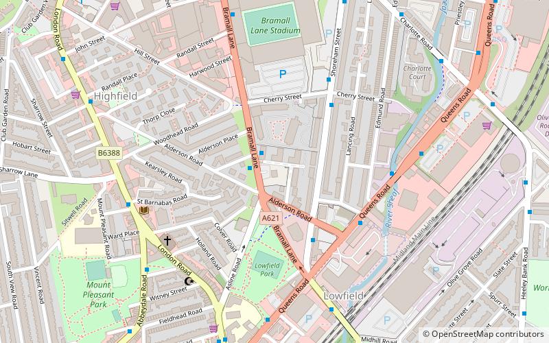
- Calculate routeSheffield 35 min walk
Day trips


Frequently Asked Questions (FAQ)
Which popular attractions are close to Lantern Theatre?
Nearby attractions include Sheffield General Cemetery, Sheffield (8 min walk), Madina Mosque, Sheffield (14 min walk), Ecclesall Road, Sheffield (16 min walk), Wilson Road Synagogue, Sheffield (16 min walk).
How to get to Lantern Theatre by public transport?
The nearest stations to Lantern Theatre:
Bus
Tram
Train
Bus
- Wolstenholme Road/Kenwood Park Road • Lines: 56, C1 (4 min walk)
- Montgomery Road/Kenbourne Road • Lines: 56, C1 (5 min walk)
Tram
- University of Sheffield • Lines: Blue, Yell (28 min walk)
- West Street • Lines: Blue, Yell (29 min walk)
Train
- Sheffield (35 min walk)