Meersbrook Park, Sheffield
Map

Map

Facts and practical information
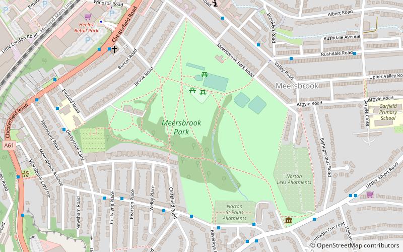
Meersbrook Park is set on a steep hillside in Meersbrook, Sheffield, England, offering panoramic views over central Sheffield to the north. Within the park are two historic buildings: Bishops' House and Meersbrook Hall. ()
Created: 1885Elevation: 384 ft a.s.l.Coordinates: 53°21'13"N, 1°28'26"W
Address
Meersbrook Park RoadGleadless ValleySheffield S8 9FP
Contact
+44 114 250 0500
Social media
Day trips
Meersbrook Park – popular in the area (distance from the attraction)
Nearby attractions include: Bramall Lane, Sheaf House Stadium, Bishops' House, Sheffield General Cemetery.
Frequently Asked Questions (FAQ)
Which popular attractions are close to Meersbrook Park?
Nearby attractions include Bishops' House, Sheffield (6 min walk), St Paul's Church and Centre, Sheffield (7 min walk), Sheffield Auction Gallery, Sheffield (8 min walk), Chesterfield Road, Sheffield (11 min walk).
How to get to Meersbrook Park by public transport?
The nearest stations to Meersbrook Park:
Bus
Tram
Bus
- Norton Lees Road/Cliffefield Road • Lines: 20 (5 min walk)
Tram
- Park Grange • Lines: Blue, Purp (31 min walk)
- Arbourthorne Road • Lines: Blue, Purp (33 min walk)


