Peckham Rye Park, London
Map
Map

Facts and practical information
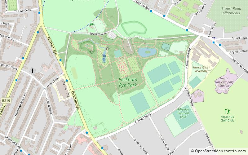
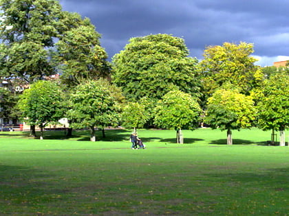
Peckham Rye is an open space and road in the London Borough of Southwark in London, England. The roughly triangular open space lies to the south of Peckham town centre. It is managed by Southwark Council and consists of two contiguous areas, with Peckham Rye Common to the north and Peckham Rye Park to the south. The road Peckham Rye forms the western and eastern perimeter of the open space. ()
Address
Southwark (Peckham Rye)London
ContactAdd
Social media
Add
Day trips
Peckham Rye Park – popular in the area (distance from the attraction)
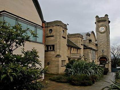
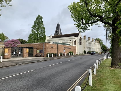
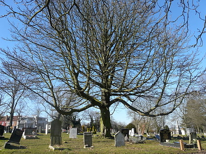
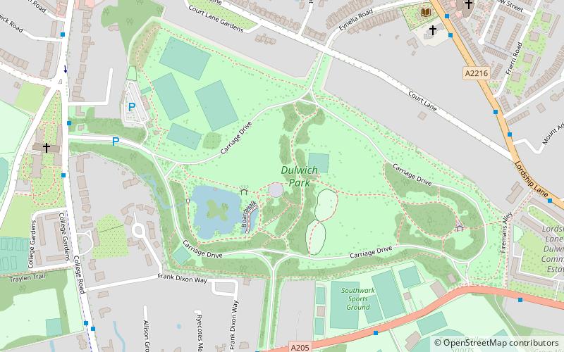
Nearby attractions include: Horniman Museum, Dulwich Picture Gallery, Nunhead Cemetery, Camberwell Old Cemetery.
Frequently Asked Questions (FAQ)
Which popular attractions are close to Peckham Rye Park?
Nearby attractions include Camberwell Old Cemetery, London (12 min walk), Nunhead Cemetery, London (15 min walk), Dulwich Public Baths, London (16 min walk), Centre for Wildlife Gardening, London (20 min walk).
How to get to Peckham Rye Park by public transport?
The nearest stations to Peckham Rye Park:
Bus
Train
Bus
- Friern Road • Lines: 363, 63, N63 (5 min walk)
- Dunstans Road • Lines: 363, 63, N63 (6 min walk)
Train
- Nunhead (20 min walk)
- Honor Oak Park (21 min walk)
 Tube
Tube