Haggerston Park, London
Map

Map

Facts and practical information
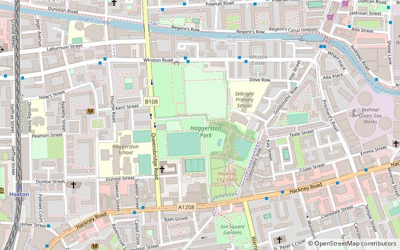
Haggerston Park is an open space in Haggerston, in the London Borough of Hackney. It is bounded by Whiston Road, Hackney Road and St Saviour's Priory, Queensbridge Road and Goldsmith's Row. ()
Elevation: 56 ft a.s.l.Coordinates: 51°31'60"N, 0°4'4"W
Address
Audrey St, off Goldsmith's Row, E2 8QHHackney (Haggerston)London
Contact
+44 835684289
Social media
Add
Day trips
Haggerston Park – popular in the area (distance from the attraction)
Nearby attractions include: Museum of the Home, Shoreditch, York Hall, Brick Lane Market.
Frequently Asked Questions (FAQ)
Which popular attractions are close to Haggerston Park?
Nearby attractions include Acton's Lock, London (7 min walk), Nelly Duff, London (7 min walk), Columbia Road Flower Market, London (7 min walk), Lithuanian Church, London (10 min walk).
How to get to Haggerston Park by public transport?
The nearest stations to Haggerston Park:
Bus
Train
Metro
Bus
- Haggerston Park • Lines: 394 (4 min walk)
- Nicholl Street • Lines: 394 (4 min walk)
Train
- Hoxton (9 min walk)
- Cambridge Heath (12 min walk)
Metro
- Bethnal Green • Lines: Central (18 min walk)
- Whitechapel • Lines: District, Hammersmith & City (26 min walk)

 Tube
Tube


