Jerwood Space, London
Map
Facts and practical information
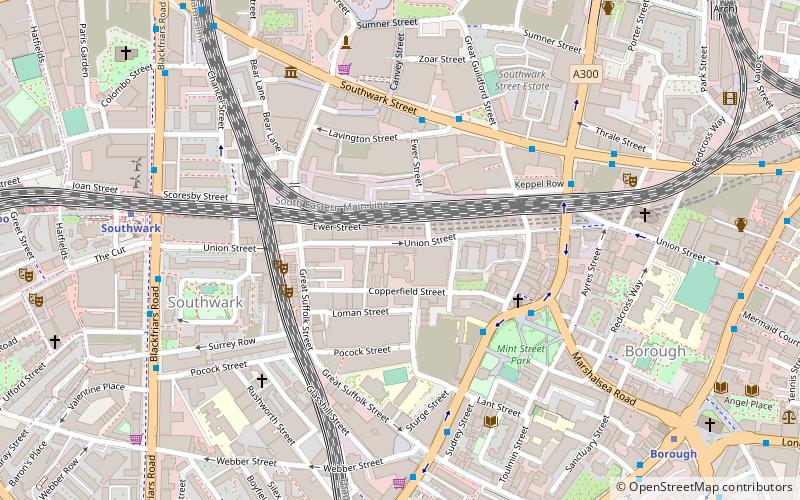
Jerwood Space is an arts venue at Bankside on Union Street, Southwark, London. The facilities include rehearsal studios, gallery/exhibition space, meeting rooms, a café, etc. Exhibits include contemporary art and photography throughout the building. ()
Coordinates: 51°30'13"N, 0°5'57"W
Address
171 Union StreetSouthwark (Cathedrals)London
Contact
+44 20 7654 0171
Social media
Add
Getting there by public transportation
Public transportation stops near this location
- Metro
- Bus
- Light rail
- Train
- Ferry
 Metro
Metro
- Calculate routeSouthwark 7 min walk
- Calculate routeBorough 8 min walk
- Calculate routeLondon Bridge 14 min walk
- Calculate routeElephant & Castle 15 min walk
- Calculate routeBorough Road 9 min walk
- Calculate routeWaterloo Station / Waterloo Road 13 min walk
- Calculate routeLondon Bridge 14 min walk
- Calculate routeLondon Bridge Bus Station 14 min walk
- Calculate routeBankside Pier 10 min walk
- Calculate routeBlackfriars Pier 13 min walk
- Calculate routeLondon Bridge City Pier 18 min walk
- Calculate routeFestival Pier 22 min walk
- Calculate routeWaterloo East 10 min walk
- Calculate routeLondon Blackfriars 13 min walk
- Calculate routeLondon Waterloo 15 min walk
- Calculate routeLondon Cannon Street 16 min walk
- Calculate routeBank Platform 10 20 min walk
- Calculate routeTower Gateway Platform 1 31 min walk
Maps Tube
Tube
TubeDay trips
Jerwood Space – popular in the area (distance from the attraction)
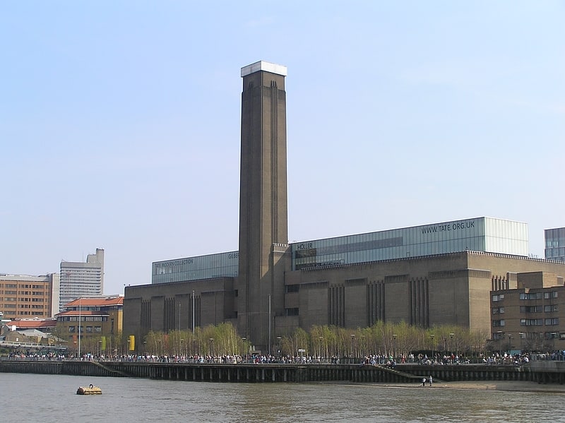
Nearby attractions include: Tate Modern, Ministry of Sound, Borough Market, Millennium Bridge.


Frequently Asked Questions (FAQ)
Which popular attractions are close to Jerwood Space?
Nearby attractions include London Fire Brigade Museum, London (3 min walk), Borough Welsh Congregational Chapel, London (4 min walk), Menier Gallery, London (4 min walk), Bankside Open Spaces Trust, London (5 min walk).
How to get to Jerwood Space by public transport?
The nearest stations to Jerwood Space:
Metro
Bus
Ferry
Train
Light rail
Metro
- Southwark • Lines: Jubilee (7 min walk)
- Borough • Lines: Northern (8 min walk)
Bus
- Borough Road • Lines: 468 (9 min walk)
- Waterloo Station / Waterloo Road • Lines: 26 (13 min walk)
Ferry
- Bankside Pier • Lines: Green Tour, Rb1, Rb1X, Rb2 (10 min walk)
- Blackfriars Pier • Lines: Rb6 (13 min walk)
Train
- Waterloo East (10 min walk)
- London Blackfriars (13 min walk)
Light rail
- Bank Platform 10 • Lines: B-L, B-Wa (20 min walk)
- Tower Gateway Platform 1 • Lines: Tg-B (31 min walk)