Pusey Street, Oxford
Map
Gallery
Facts and practical information
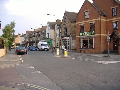
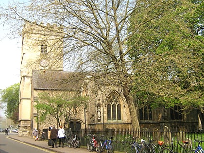
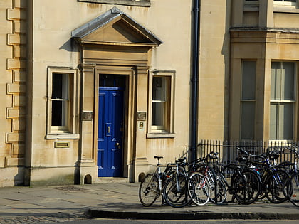
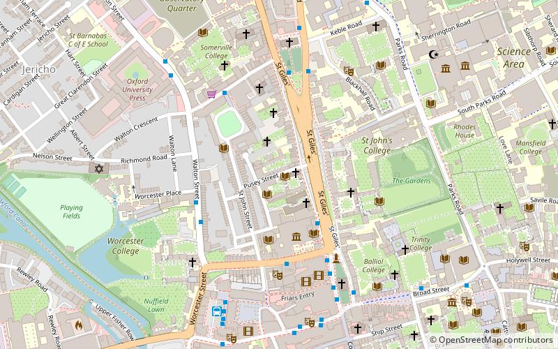
Pusey Street links the wide thoroughfare of St Giles' Street to the east with St John Street to the west in the St John Street area of central Oxford, England. Pusey Street, formerly called Alfred Street, was renamed in honour of Edward Bouverie Pusey in 1926. The renaming also avoided confusion with another Alfred Street to the south. ()
Coordinates: 51°45'24"N, 1°15'39"W
Address
CarfaxOxford
ContactAdd
Social media
Add
Day trips
Pusey Street – popular in the area (distance from the attraction)
Nearby attractions include: Magdalen Street, Walton Street, Ashmolean Museum, Little Clarendon Street.
Frequently Asked Questions (FAQ)
Which popular attractions are close to Pusey Street?
Nearby attractions include Angus Library and Archive, Oxford (2 min walk), Faculty of Oriental Studies, Oxford (2 min walk), Faculty of Theology and Religion, Oxford (2 min walk), St John Street, Oxford (2 min walk).
How to get to Pusey Street by public transport?
The nearest stations to Pusey Street:
Bus
Train
Bus
- St Giles • Lines: 853 (3 min walk)
- Magdalen Street • Lines: 14, 14A, 35 (5 min walk)
Train
- Oxford (12 min walk)


