Portrack Marsh Nature Reserve, Middlesbrough
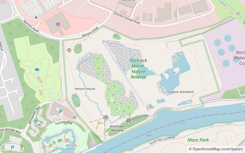
Map

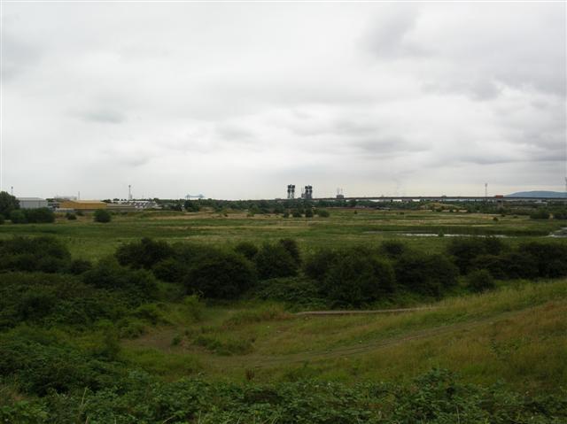
Gallery

Facts and practical information
Portrack Marsh Nature Reserve is a 50 acres reserve by the northern bank of the River Tees between the Tees Barrage and the Tees Viaduct, near Portrack housing estate in Stockton-on-Tees borough, County Durham. It is the last remaining wetland on the lower Tees. The site is bounded by Marston Road, a disused railway line, the Northumbrian Water's waste water treatment site, the River Tees, the Tees Barrage White Water Course, the grounds of The Talpore pub and a Tees Barrage access road. ()
Coordinates: 54°34'7"N, 1°16'50"W
Address
Middlesbrough
ContactAdd
Social media
Add
Day trips
Portrack Marsh Nature Reserve – popular in the area (distance from the attraction)
Nearby attractions include: Tees Barrage International White Water Course, Infinity Bridge, Thornaby Town Hall, Tees Barrage.
Frequently Asked Questions (FAQ)
Which popular attractions are close to Portrack Marsh Nature Reserve?
Nearby attractions include Tees Barrage, Stockton-on-Tees (10 min walk), Wild Animal Adventures, Stockton-on-Tees (13 min walk), Tees Viaduct, Middlesbrough (13 min walk), Portrack Incinerator, Middlesbrough (15 min walk).
How to get to Portrack Marsh Nature Reserve by public transport?
The nearest stations to Portrack Marsh Nature Reserve:
Bus
Train
Bus
- Malleable Works • Lines: 58A (12 min walk)
- Barrage • Lines: S1, X10, X6 (12 min walk)
Train
- Thornaby (28 min walk)


