Ramsay Garden, Edinburgh
Map
Map

Facts and practical information
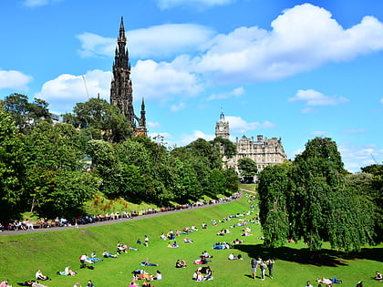
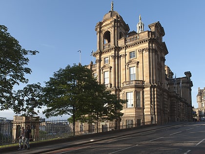
Ramsay Garden is a block of sixteen private apartment buildings in the Castlehill area of Edinburgh, Scotland. They stand out for their red ashlar and white harled exteriors, and for their prominent position, most visible from Princes Street. ()
Coordinates: 55°56'57"N, 3°11'48"W
Address
Old Town (Edinburgh Castle)Edinburgh
ContactAdd
Social media
Add
Day trips
Ramsay Garden – popular in the area (distance from the attraction)
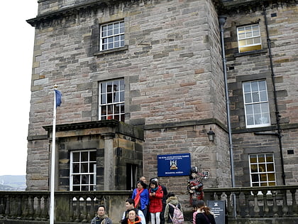
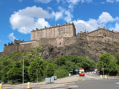
Nearby attractions include: Edinburgh Castle, Scottish National Gallery, Princes Street Gardens, The Museum of the Royal Scots and the Royal Regiment of Scotland.
Frequently Asked Questions (FAQ)
Which popular attractions are close to Ramsay Garden?
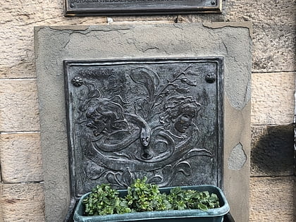
Nearby attractions include Witches' Well, Edinburgh (1 min walk), Camera Obscura, Edinburgh (2 min walk), Scotch Whisky Experience, Edinburgh (2 min walk), New College, Edinburgh (2 min walk).
How to get to Ramsay Garden by public transport?
The nearest stations to Ramsay Garden:
Bus
Tram
Train
Bus
- The Mound • Lines: 23, 27, 41, 42 (4 min walk)
- Victoria Street • Lines: 23, 27, 41 (5 min walk)
Tram
- Princes Street • Lines: Edinburgh Trams Eastbound, Edinburgh Trams Westbound (5 min walk)
- St Andrew Square • Lines: Edinburgh Trams Eastbound, Edinburgh Trams Westbound (11 min walk)
Train
- Edinburgh Waverley (8 min walk)
- Haymarket (24 min walk)


