Rushall Junction, Walsall
Map

Map

Facts and practical information
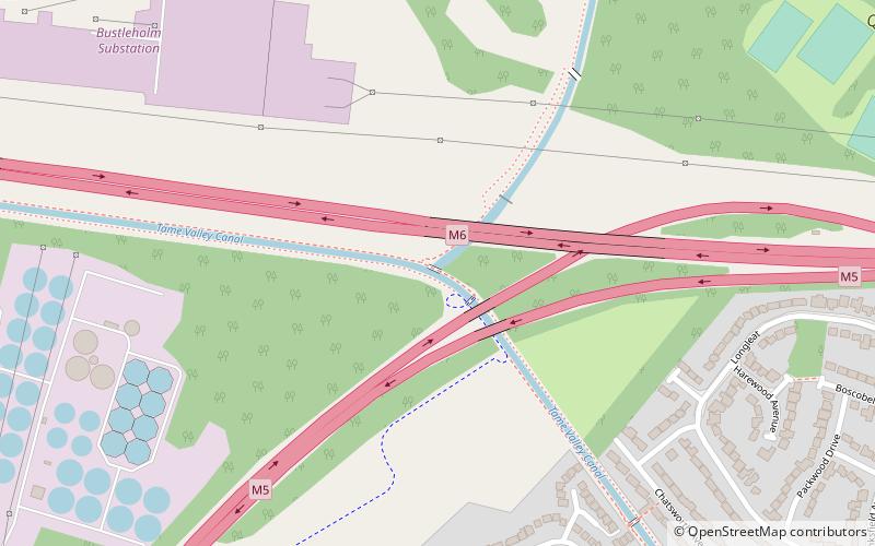
Rushall Junction is the southern limit of the Rushall Canal where it meets the Tame Valley Canal in the West Midlands, England. It opened in 1847, when the Rushall Canal was built to create connections between the Birmingham Canal Navigations system and the Wyrley and Essington Canal, following the amalgamation of the two companies in 1840. ()
Coordinates: 52°33'1"N, 1°57'23"W
Address
Sandwell (Charlemont with Grove Vale)Walsall
ContactAdd
Social media
Add
Day trips
Rushall Junction – popular in the area (distance from the attraction)
Nearby attractions include: Red House Park, Bishop Asbury Cottage, St. Margaret's Church, Tame Valley Canal.
Frequently Asked Questions (FAQ)
Which popular attractions are close to Rushall Junction?
Nearby attractions include Rushall Canal, Walsall (1 min walk), Bishop Asbury Cottage, Birmingham (13 min walk), Tame Valley Canal, Birmingham (15 min walk), Annunciation Church, Walsall (16 min walk).
How to get to Rushall Junction by public transport?
The nearest stations to Rushall Junction:
Train
Train
- Tame Bridge Parkway (22 min walk)


