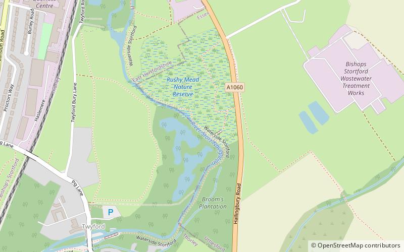
Rushy Mead, Bishop's Stortford
Map

Map

Facts and practical information
Rushy Mead is a 4.6 hectare nature reserve on the bank of the River Stort in Essex, between Sawbridgeworth and Bishop's Stortford. Until the 1950s it was the site of a pumping station for a sewage works. It is owned by Thames Water and Wimpey Homes, and managed by the Essex Wildlife Trust. The name Rushy Mead comes from an old map showing the area as riverside meadows. ()
Area: 11.37 acres (0.0178 mi²)Elevation: 187 ft a.s.l.Coordinates: 51°51'18"N, 0°10'20"E
Address
Bishop's Stortford
ContactAdd
Social media
Add
Day trips
Rushy Mead – popular in the area (distance from the attraction)
Nearby attractions include: South Mill Arts, Waytemore Castle, Thorley Wash Nature Reserve, Boar's Head Inn.


