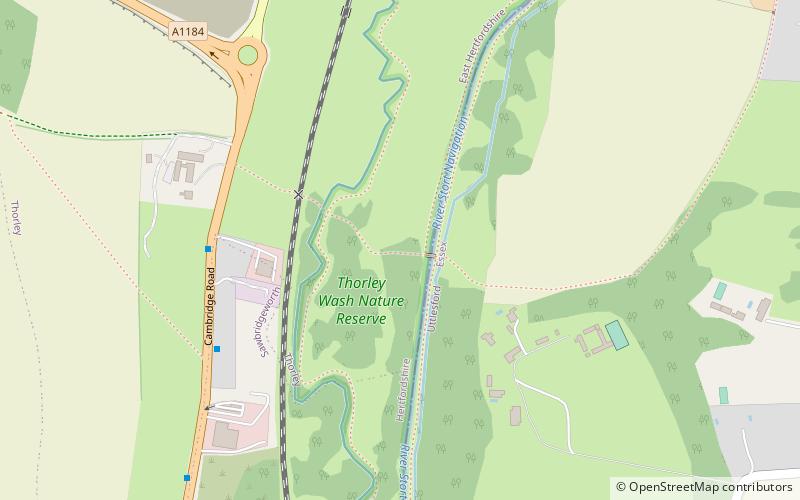
Thorley Wash Nature Reserve

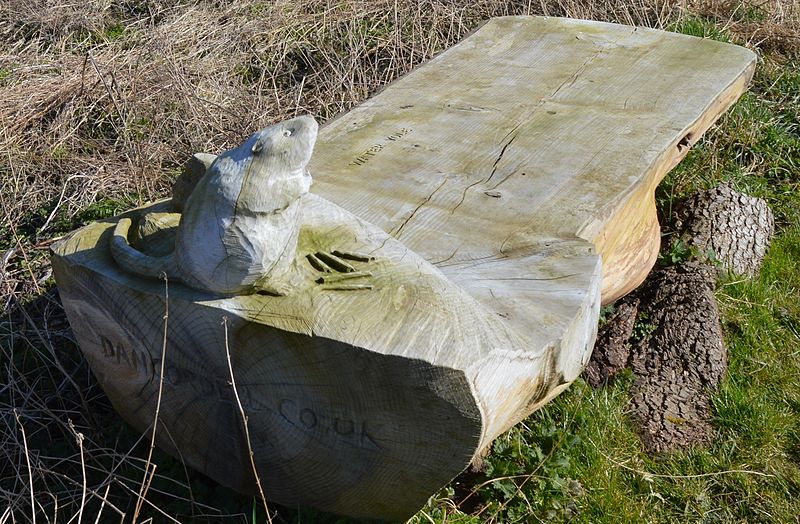
Gallery (2)
Map
Map
Gallery
Facts and practical information
Thorley Wash or Thorley Flood Pound is a 17.3-hectare biological Site of Special Scientific Interest in Thorley, south of Bishop's Stortford in Hertfordshire. It was formerly a flood pound for the Stort Navigation, which was decommissioned in 2004 and converted to a more natural state. It was purchased by the Herts and Middlesex Wildlife Trust from the Environment Agency in 2011. ()
Elevation: 171 ft a.s.l.Coordinates: 51°50'32"N, 0°9'41"E
Day trips


