Saltmarket, Glasgow
Map
Gallery
Facts and practical information
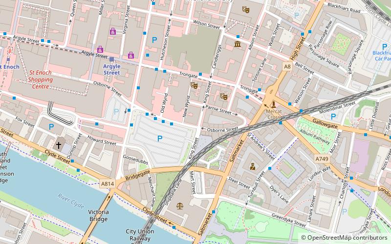
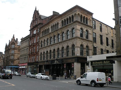
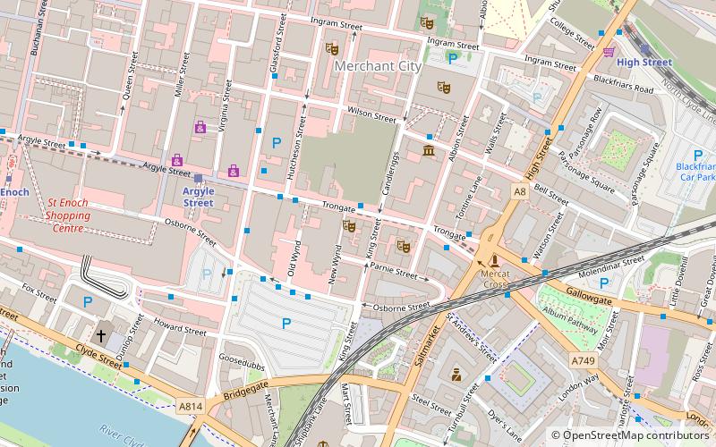
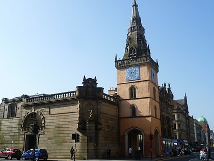
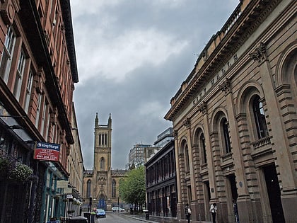
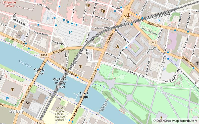
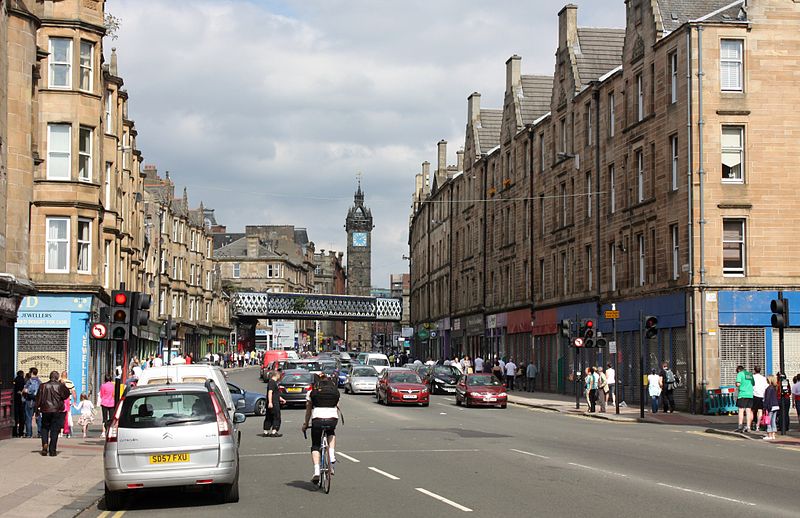
The Saltmarket is a thoroughfare in the City of Glasgow, Scotland. It is a southward continuation of the High Street, running south from Glasgow Cross to the junction with Clyde Street and Crown Street by the River Clyde. It runs past the High Court of Glasgow and also Glasgow Green. Along with the High Street and Crown Street it forms part of the A8. ()
Length: 1584 ftCoordinates: 55°51'15"N, 4°14'46"W
Address
East End (Calton)Glasgow
ContactAdd
Social media
Add
Day trips
Saltmarket – popular in the area (distance from the attraction)
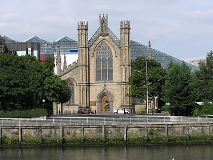
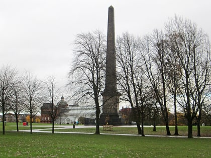
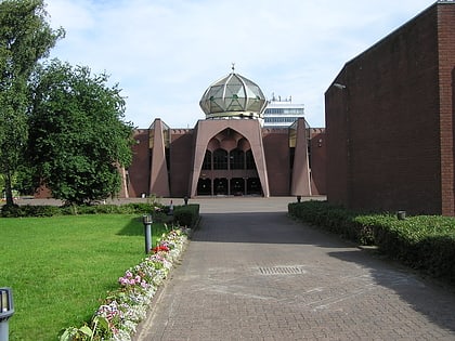
Nearby attractions include: The 13th Note, St Andrew's Cathedral, Nelson Monument, Glasgow Central Mosque.
Frequently Asked Questions (FAQ)
Which popular attractions are close to Saltmarket?
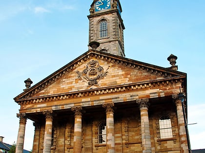
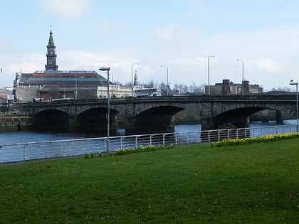
Nearby attractions include St Andrew's-by-the-Green, Glasgow (2 min walk), Albert Bridge, Glasgow (4 min walk), St Andrew's in the Square, Glasgow (4 min walk), St Andrew's Square, Glasgow (4 min walk).
How to get to Saltmarket by public transport?
The nearest stations to Saltmarket:
Bus
Train
Metro
Bus
- London Road / Turnbull Street • Lines: 2 (5 min walk)
- Osborne Street / Stockwell Street • Lines: 5, 65 (5 min walk)
Train
- Argyle Street (8 min walk)
- High Street (11 min walk)
Metro
- St Enoch • Lines: Subway (11 min walk)
- Bridge Street • Lines: Subway (13 min walk)

