Sankey Canal, St Helens
Map

Gallery

Facts and practical information
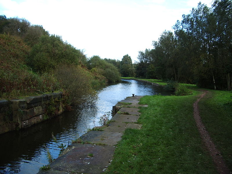
The Sankey Canal in North West England, initially known as the Sankey Brook Navigation and later the St Helens Canal, is a former industrial canal, which when opened in 1757 was England's first of the Industrial revolution, and the first modern canal. ()
Address
St Helens
ContactAdd
Social media
Add
Day trips
Sankey Canal – popular in the area (distance from the attraction)
Nearby attractions include: Gulliver's World, Haydock Park Racecourse, Sankey Valley Park, Earlestown Town Hall.
Frequently Asked Questions (FAQ)
Which popular attractions are close to Sankey Canal?
Nearby attractions include Sankey Viaduct, Newton-le-Willows (7 min walk), Earlestown Town Hall, Newton-le-Willows (13 min walk), St John the Baptist's Church, Newton-le-Willows (14 min walk).
How to get to Sankey Canal by public transport?
The nearest stations to Sankey Canal:
Bus
Train
Bus
- Earlestown Bus Station (13 min walk)
- Crow Lane • Lines: 22 (19 min walk)
Train
- Earlestown (13 min walk)


