The Wheatsheaf, St Helens
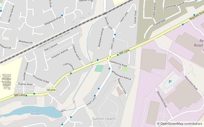
Map

Map

Facts and practical information
The Wheatsheaf is a public house at Mill Lane, St Helens, Merseyside WA9 4HN, England. It was built in 1936–1938 by the brewery Greenall Whitley & Co. Ltd of Warrington, to a design by the architect W. A. Hartley. ()
Coordinates: 53°25'42"N, 2°42'40"W
Address
St Helens
Contact
+44 1744 813994
Social media
Add
Day trips
The Wheatsheaf – popular in the area (distance from the attraction)
Nearby attractions include: All Saints' Church, Sherdley Park, St Nicholas Church, Sutton Mill Dam.
Frequently Asked Questions (FAQ)
Which popular attractions are close to The Wheatsheaf?
Nearby attractions include Sutton Mill Dam, St Helens (8 min walk), St Nicholas Church, St Helens (11 min walk), All Saints' Church, St Helens (18 min walk).
How to get to The Wheatsheaf by public transport?
The nearest stations to The Wheatsheaf:
Train
Train
- Lea Green (16 min walk)
- St Helens Junction (16 min walk)


