Sewell Park, Norwich
Map
Gallery
Facts and practical information
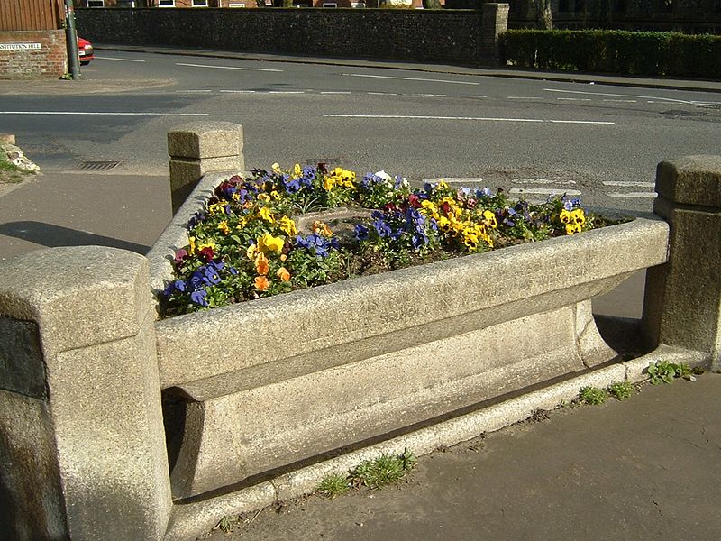
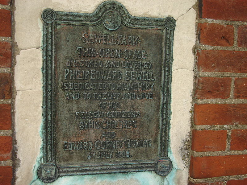
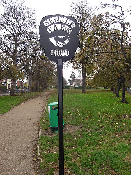
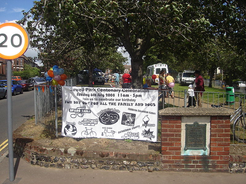
Sewell Park is a triangular park between Constitution Hill and St. Clement's Hill in Norwich, Norfolk, England. The park was given to the Norwich Corporation and Norwich City Council as an open space by members of the Sewell family and former mayor E. G Buxton in 1908. The park was formally opened on July 5, 1909. ()
Elevation: 72 ft a.s.l.Coordinates: 52°38'44"N, 1°17'52"E
Address
St Clements HillSewellNorwich
ContactAdd
Social media
Add
Day trips
Sewell Park – popular in the area (distance from the attraction)
Nearby attractions include: Norwich Cathedral, Anglia Square Shopping Centre, Cow Tower, Surrey Chapel.
Frequently Asked Questions (FAQ)
Which popular attractions are close to Sewell Park?
Nearby attractions include Sewell Barn Theatre, Norwich (5 min walk), Waterloo Park, Norwich (10 min walk), Vinegar Pond, Norwich (15 min walk), St Augustine's Church, Norwich (16 min walk).
How to get to Sewell Park by public transport?
The nearest stations to Sewell Park:
Bus
Bus
- Sewell Road, adj • Lines: 13, 13C, 210, 5A (1 min walk)
- Sewell Road, opp • Lines: 13, 13C, 210, 5A, 606 (2 min walk)


