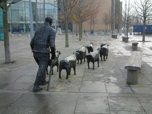
Sheep on the Road, Belfast
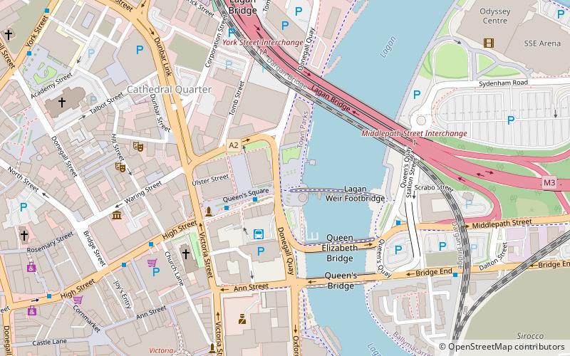
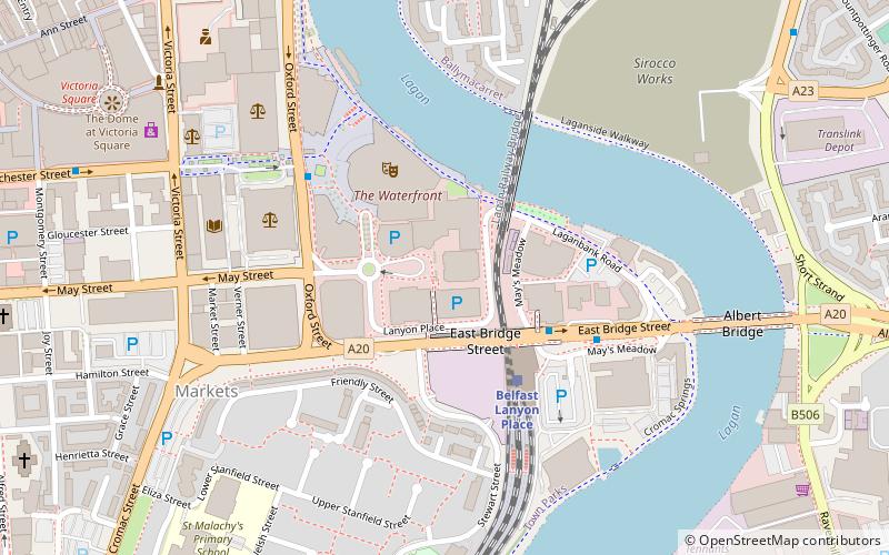
Map
Gallery
Facts and practical information
Sheep on the Road is an outdoor sculpture located in Belfast, Northern Ireland. It is a life-size bronzes of six sheep and a shepherd, sculpted in 1991 by acclaimed Northern Irish sculptor, Deborah Brown. ()
Coordinates: 54°35'47"N, 5°55'7"W
Address
ShaftesburyBelfast
ContactAdd
Social media
Add
Day trips
Sheep on the Road – popular in the area (distance from the attraction)
Nearby attractions include: Victoria Square, St George's Market, Beacon of Hope Sculpture, The Big Fish.
Frequently Asked Questions (FAQ)
Which popular attractions are close to Sheep on the Road?
Nearby attractions include Lagan Railway Bridge, Belfast (3 min walk), Waterfront Hall, Belfast (4 min walk), St George's Market, Belfast (4 min walk), Albert Bridge, Belfast (6 min walk).
How to get to Sheep on the Road by public transport?
The nearest stations to Sheep on the Road:
Train
Bus
Train
- Belfast Lanyon Place (3 min walk)
- Titanic Quarter (16 min walk)
Bus
- Translink Depot (9 min walk)
- Laganside Bus Centre (9 min walk)

