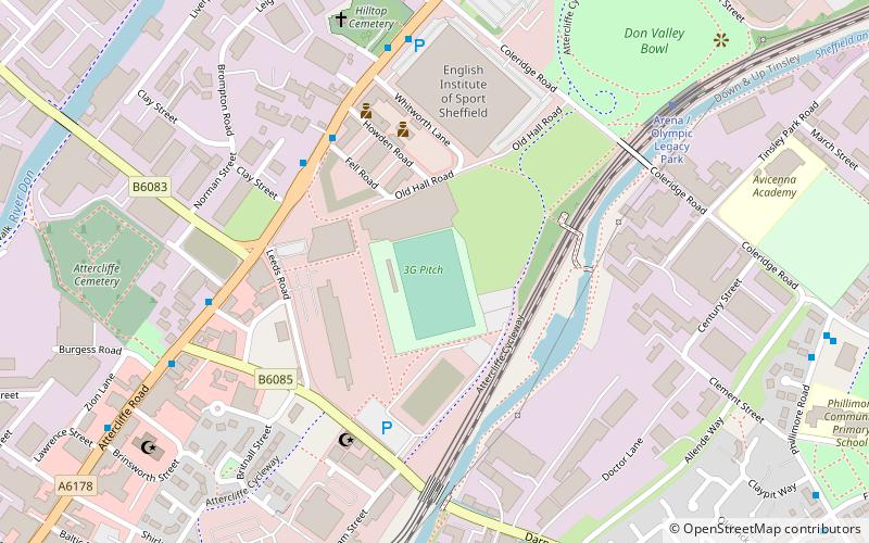
Sheffield Outer Ring Road, Sheffield
Map
Facts and practical information
Sheffield Outer Ring Road is one of two main routes circumventing Sheffield, England, a partial ring around Sheffield City Centre and its suburbs. ()
Coordinates: 53°22'48"N, 1°24'47"W
Address
DarnallSheffield
ContactAdd
Social media
Add
Getting there by public transportation
Public transportation stops near this location
- Bus
- Tram
- Train
 Bus
Bus
- Calculate routeDarnall 9 min walk
- Calculate routeParkway Avenue/Kettlebridge Road 17 min walk
- Calculate routeHandsworth/Sheffield Parkway 20 min walk
- Calculate routeWoodbourn Road 28 min walk
- Calculate routeAttercliffe 29 min walk
- Calculate routeSpring Lane 37 min walk
Day trips


Frequently Asked Questions (FAQ)
Which popular attractions are close to Sheffield Outer Ring Road?
Nearby attractions include Handsworth Road, Sheffield (11 min walk), Bowden Housteads Woods, Sheffield (11 min walk), Parkway Man, Sheffield (14 min walk), High Hazels Park, Sheffield (20 min walk).
How to get to Sheffield Outer Ring Road by public transport?
The nearest stations to Sheffield Outer Ring Road:
Train
Bus
Tram
Train
- Darnall (9 min walk)
Bus
- Parkway Avenue/Kettlebridge Road • Lines: 74A, A1, X74 (17 min walk)
- Handsworth/Sheffield Parkway • Lines: 74A (20 min walk)
Tram
- Woodbourn Road • Lines: Tt, Yell (28 min walk)
- Attercliffe • Lines: Tt, Yell (29 min walk)