Sparkbrook, Birmingham
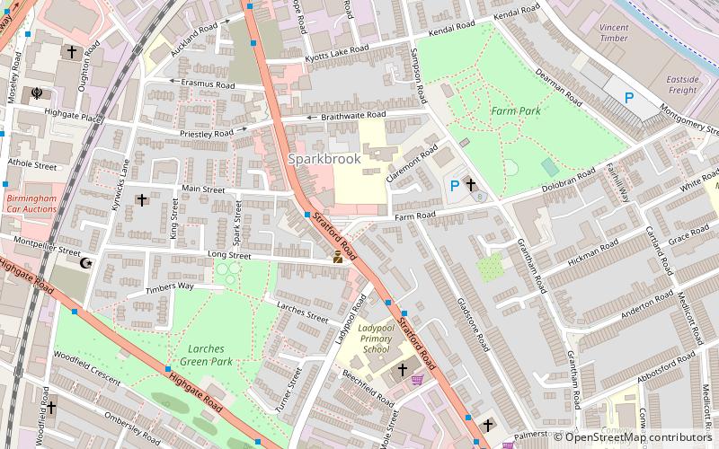
Map
Facts and practical information
Sparkbrook is an inner-city area in south-east Birmingham, England. It is one of the four wards forming the Hall Green formal district within Birmingham City Council. ()
Address
SparkbrookBirmingham
ContactAdd
Social media
Add
Getting there by public transportation
Public transportation stops near this location
- Bus
- Tram
- Train
 Bus
Bus
- Calculate routeStratford Rd / Main St 2 min walk
- Calculate routeWarwick Road / Stratford Rd 13 min walk
- Calculate routeBordesley 17 min walk
- Calculate routeSmall Heath 17 min walk
- Calculate routeBirmingham Moor Street 34 min walk
- Calculate routeBirmingham New Street 37 min walk
- Calculate routeGrand Central 38 min walk
- Calculate routeCorporation Street 38 min walk
Day trips


Frequently Asked Questions (FAQ)
Which popular attractions are close to Sparkbrook?
Nearby attractions include St Agatha's Church, Birmingham (4 min walk), Holy Trinity Church, Birmingham (14 min walk), Highgate Park, Birmingham (15 min walk), St Barnabas' Church, Birmingham (15 min walk).
How to get to Sparkbrook by public transport?
The nearest stations to Sparkbrook:
Bus
Train
Tram
Bus
- Stratford Rd / Main St • Lines: 4, 4A, 6 (2 min walk)
- Warwick Road / Stratford Rd • Lines: 4, 4A (13 min walk)
Train
- Bordesley (17 min walk)
- Small Heath (17 min walk)
Tram
- Grand Central • Lines: 1 (38 min walk)
- Corporation Street • Lines: 1 (38 min walk)