St John the Baptist's Chapel, Matlock
Map

Map

Facts and practical information
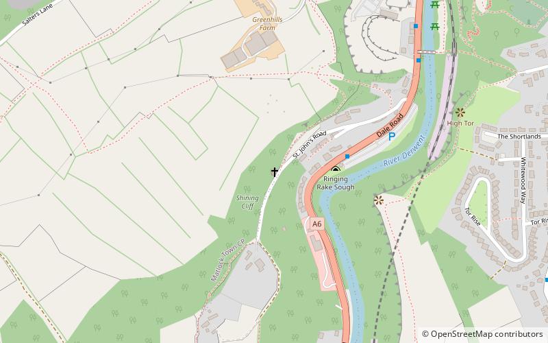
St John the Baptist's Chapel, Matlock Bath, is a former private chapel in Johns Road, off the A6 road between Matlock Bath and Matlock, Derbyshire, England. The chapel, together with its retaining and attached walls, is recorded in the National Heritage List for England as a designated Grade II* listed building, and is under the care of the Friends of Friendless Churches. ()
Built: 1897 (129 years ago)Coordinates: 53°7'52"N, 1°33'42"W
Address
St John's RdMatlock DE4 3PS
ContactAdd
Social media
Add
Day trips
St John the Baptist's Chapel – popular in the area (distance from the attraction)
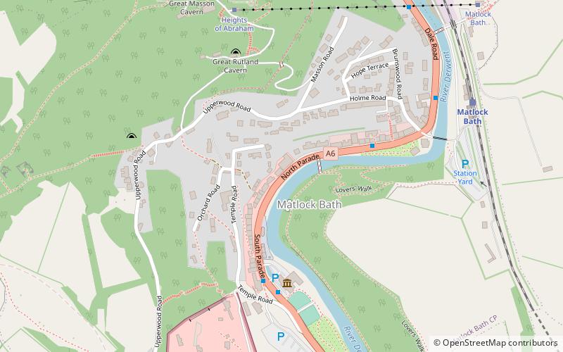
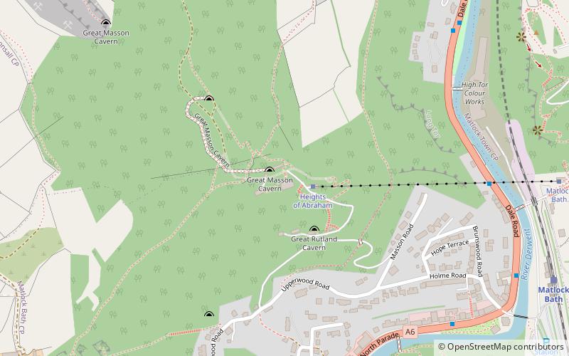
Nearby attractions include: Gulliver's Kingdom, Great Masson Cavern, Heights of Abraham, Peak District Lead Mining Museum.
Frequently Asked Questions (FAQ)
Which popular attractions are close to St John the Baptist's Chapel?
Nearby attractions include St Giles' Church, Matlock (12 min walk), Great Masson Cavern, Matlock Bath (13 min walk), Great Rutland Cavern, Matlock Bath (13 min walk), Heights of Abraham, Matlock Bath (13 min walk).
How to get to St John the Baptist's Chapel by public transport?
The nearest stations to St John the Baptist's Chapel:
Bus
Train
Bus
- Artists Corner • Lines: 6.1, Little Sixes, Little Sixes (Mon - Fri), Little Sixes (School AM) (3 min walk)
- Boat House • Lines: 6.1, Little Sixes, Little Sixes (Mon - Fri), Little Sixes (School AM) (7 min walk)
Train
- Matlock (13 min walk)
- Matlock Bath (16 min walk)


