St Michael's Church, Widnes

Gallery (1)
Map
Map
Facts and practical information
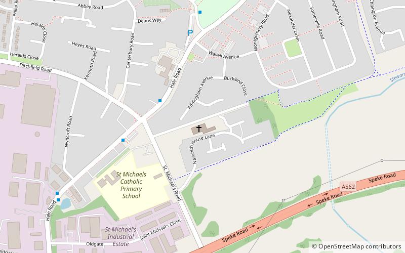
St Michael's Church is in St Michael's Road, Ditton, Widnes, Halton, Cheshire, England. It is recorded in the National Heritage List for England as a designated Grade II* listed building. It is an active Roman Catholic church. ()
Completed: 1879 (147 years ago)Architectural style: Gothic revivalSpire height: 120 ftCoordinates: 53°21'45"N, 2°45'40"W
Getting there by public transportation
Public transportation stops near this location
- Train
 Train
Train
- Calculate routeHough Green 24 min walk
- Calculate routeWidnes 40 min walk
Day trips


Frequently Asked Questions (FAQ)
How to get to St Michael's Church by public transport?
The nearest stations to St Michael's Church:
Train
Train
- Hough Green (24 min walk)
- Widnes (40 min walk)