St Thomas' Church, Hungerford

Gallery (1)
Map
Map
Facts and practical information
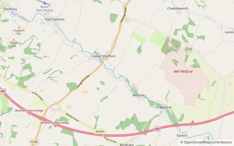
St Thomas' Church is a redundant Church of England parish church at East Shefford in the English county of Berkshire. It is recorded in the National Heritage List for England as a designated Grade I listed building, and is under the care of the Churches Conservation Trust. The church stands in an isolated position at the end of a private drive overlooking the River Lambourn, to the southeast of the village of Great Shefford. ()
Coordinates: 51°28'11"N, 1°26'21"W
Day trips