Stoke Poges, Slough
Map
Gallery
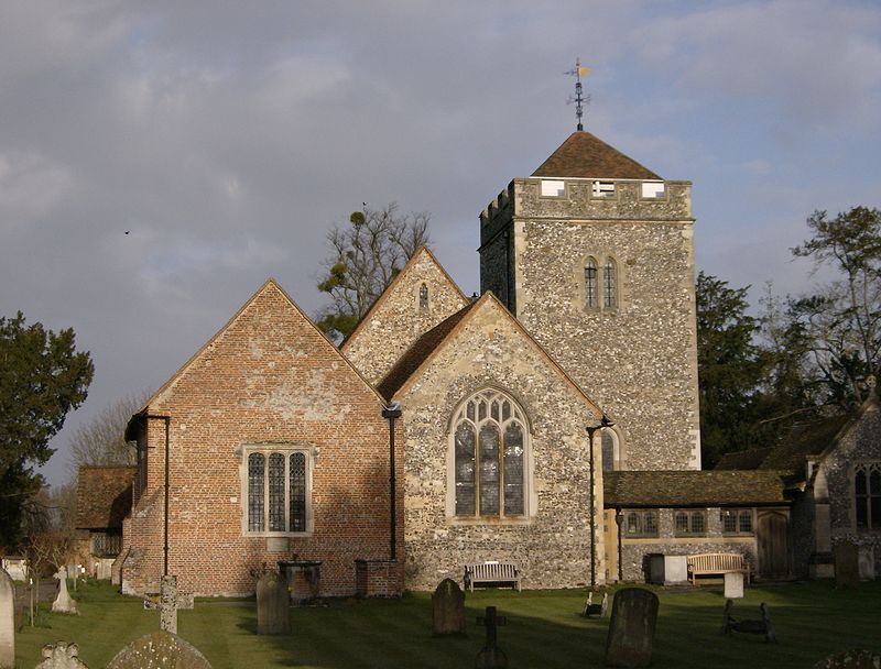
Facts and practical information
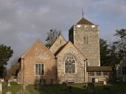
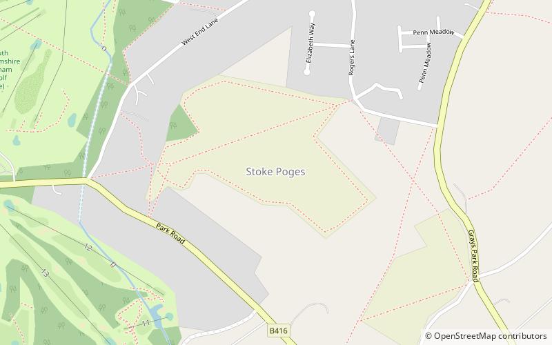
Stoke Poges is a green-buffered scattered village and civil parish in south-east Buckinghamshire, England. It is centred 2.7 miles north-north-east of Slough, its post town, and 1.5 miles southeast of Farnham Common. ()
Day trips
Stoke Poges – popular in the area (distance from the attraction)
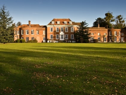
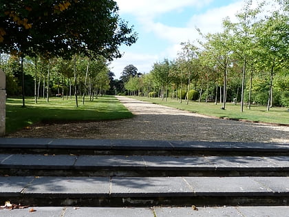
Nearby attractions include: Stoke Park, Stoke and Wexham War Memorial, Stoke Place, Stoke Poges Memorial Gardens.
Frequently Asked Questions (FAQ)
Which popular attractions are close to Stoke Poges?
Nearby attractions include Stoke Poges Memorial Gardens, Slough (15 min walk), Stoke Park, Slough (16 min walk), Stoke Place, Slough (21 min walk), Stoke and Wexham War Memorial, Haymill Valley (22 min walk).
How to get to Stoke Poges by public transport?
The nearest stations to Stoke Poges:
Bus
Bus
- Whiteford Road • Lines: 12 (25 min walk)
- Beechwood Road • Lines: 12 (26 min walk)
