Storey's Way, Cambridge
Map

Gallery

Facts and practical information
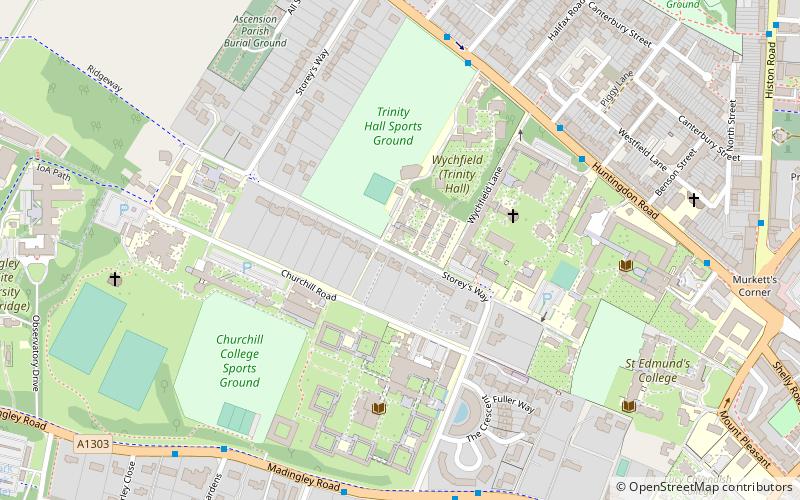
Storey's Way is a mainly residential road, approximately 650 metres to the west of the city centre in Cambridge, England. It falls within the Castle Electoral Ward of Cambridge City Council, and feeds on to the major arterial roads Huntingdon Road to the north and Madingley Road to the west. ()
Coordinates: 52°12'53"N, 0°6'11"E
Address
CastleCambridge
ContactAdd
Social media
Add
Day trips
Storey's Way – popular in the area (distance from the attraction)
Nearby attractions include: Cambridge Castle, School of Pythagoras, Ascension Parish Burial Ground, Castle Street Methodist Church.
Frequently Asked Questions (FAQ)
Which popular attractions are close to Storey's Way?
Nearby attractions include Fitzwilliam College, Cambridge (3 min walk), Churchill College, Cambridge (5 min walk), Murray Edwards College, Cambridge (5 min walk), New Hall Art Collection, Cambridge (6 min walk).
How to get to Storey's Way by public transport?
The nearest stations to Storey's Way:
Bus
Bus
- Richmond Road • Lines: Citi 5, Citi 6 (6 min walk)
- Fitzwilliam College • Lines: Citi 5, Citi 6 (5 min walk)


