Povington Hill
Map

Map

Facts and practical information
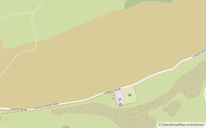
Povington Hill, at 198 metres high, is one of the highest points on the chain of the Purbeck Hills in south Dorset on the southern coast of England. Its prominence of 107 metres means it is listed as one of the Tumps, although map sources suggest this honour should go to Ridgeway Hill further east. ()
Elevation: 650 ftProminence: 351 ftCoordinates: 50°37'54"N, 2°9'40"W
Location
England
ContactAdd
Social media
Add
Day trips
Povington Hill – popular in the area (distance from the attraction)
Nearby attractions include: Blue Pool, Lulworth Estate, Fossil Forest, Swyre Head.


