Castlerigg, Lake District National Park
Map
Facts and practical information
Castlerigg is an area of Keswick, Cumbria, England. Castlerigg is named after a hill in the immediate area. ()
Coordinates: 54°35'31"N, 3°6'40"W
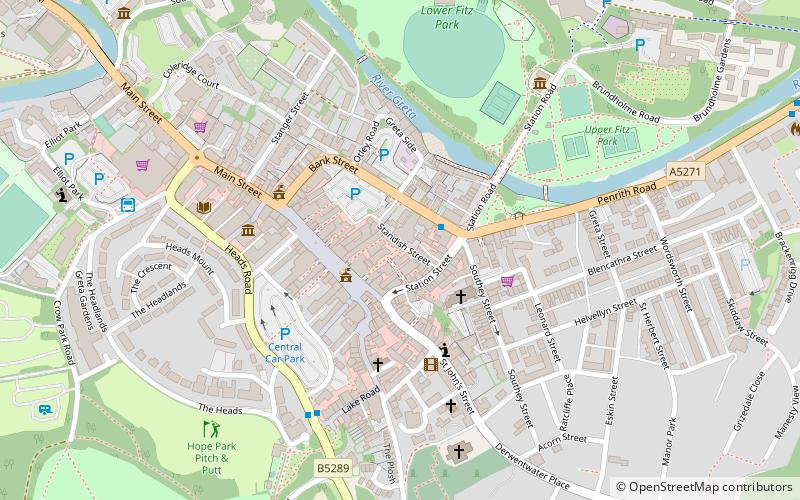
Getting there by public transportation
Public transportation stops near this location
- Bus
 Bus
Bus
- Calculate routeCastle Lane 9 min walk
- Calculate routeRakefoot 9 min walk
- Calculate routeLonsties 13 min walk
- Calculate routeManor Brow 16 min walk
Day trips


Frequently Asked Questions (FAQ)
Which popular attractions are close to Castlerigg?
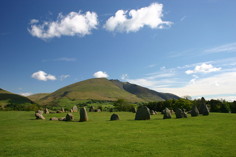
Nearby attractions include Walla Crag, Keswick (21 min walk), Castlerigg Stone Circle, Keswick (23 min walk).
How to get to Castlerigg by public transport?
The nearest stations to Castlerigg:
Bus
Bus
- Castle Lane • Lines: 555 (9 min walk)
- Rakefoot • Lines: 555 (9 min walk)