Land's End to John o' Groats

Facts and practical information
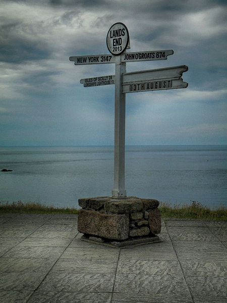
Land's End to John o' Groats is the traversal of the whole length of the island of Great Britain between two extremities; in the southwest and northeast. The traditional distance by road is 874 miles (1,407 km) and takes most cyclists 10 to 14 days to complete. For hikers, the journey can be an epic adventure that typically takes several weeks, depending on the route and the individual's pace.
The hike between these two points is not a formal trail, but rather a challenge for walkers and cyclists who map their own paths across the country. The route passes through stunning landscapes, including the rugged moors of Cornwall, the rolling hills of the Lake District, and the majestic Highlands of Scotland.
The journey can start or end at either point, with Land's End being the most westerly point of mainland England, and John o' Groats recognized as the northeastern tip of mainland Scotland. While there is no official path, several established routes are popular among long-distance hikers, such as the National Trails in England and Wales and the Scottish National Trail.
Hiking from Land's End to John o' Groats is more than a physical challenge; it's a journey through British history and culture. Along the way, hikers encounter ancient monuments, picturesque villages, and a diverse range of wildlife. The trek is also a test of endurance and self-sufficiency, as accommodation options vary from campgrounds to bed and breakfasts.
England
Land's End to John o' Groats – popular in the area (distance from the attraction)
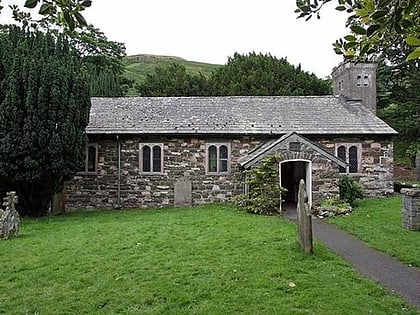
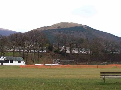
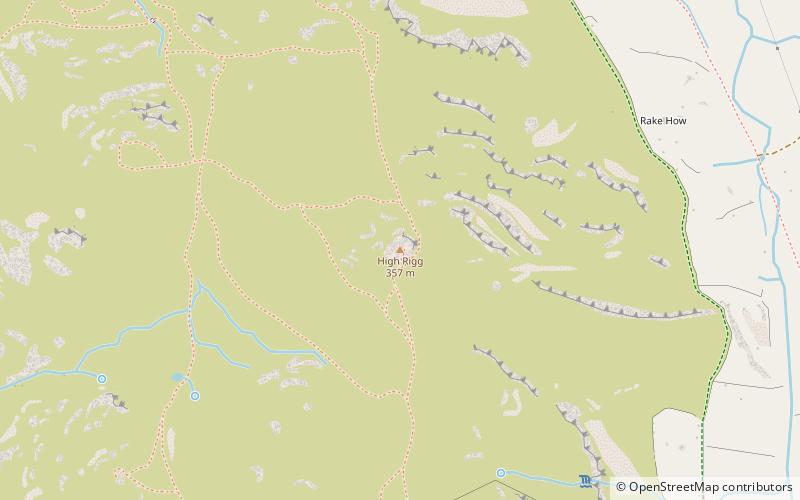
Nearby attractions include: Castlerigg Stone Circle, St John's Church, Latrigg, High Rigg.


