Hockley Railway Viaduct, South Downs National Park
Map

Map

Facts and practical information
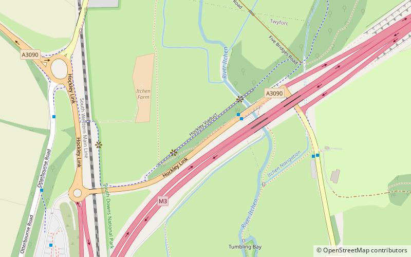
The Hockley Railway Viaduct is a disused railway viaduct to the south of Winchester in Hampshire, England. ()
Opened: 1891 (135 years ago)Length: 2014 ftCoordinates: 51°2'12"N, 1°19'18"W
Day trips
Hockley Railway Viaduct – popular in the area (distance from the attraction)
Nearby attractions include: St. Catherine's Hill, Twyford Waterworks, St Mary's Church, Hockley Meadows.
Frequently Asked Questions (FAQ)
Which popular attractions are close to Hockley Railway Viaduct?
Nearby attractions include Hockley Meadows, Otterbourne (20 min walk), St. Catherine's Hill, South Downs National Park (21 min walk).
How to get to Hockley Railway Viaduct by public transport?
The nearest stations to Hockley Railway Viaduct:
Bus
Train
Bus
- Bushfield Roundabout • Lines: 1 (8 min walk)
- Grange Road • Lines: 1 (15 min walk)
Train
- Shawford (27 min walk)


