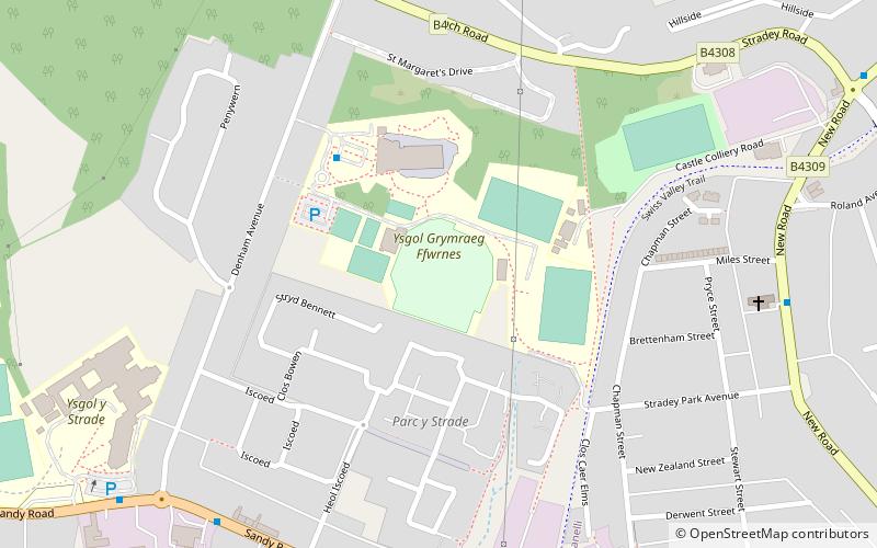
Stradey, Llanelli
Map
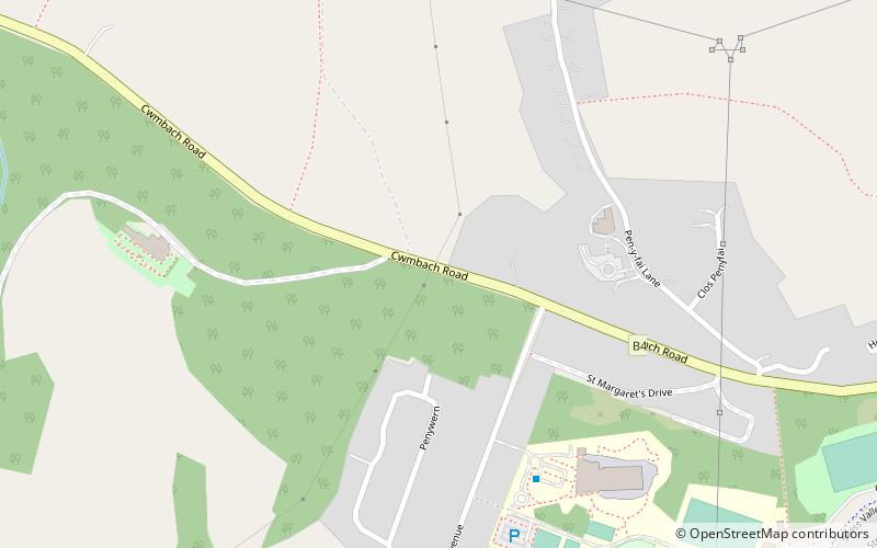
Map

Facts and practical information
Stradey is an area of the town of Llanelli in the county of Carmarthenshire in Wales, home to Stradey Park, where the Llanelli RFC and Llanelli Scarlets rugby teams were formerly based. Stradey is also home to the town's only Welsh language secondary school, Ysgol y Strade. ()
Coordinates: 51°41'31"N, 4°10'44"W
Address
Llanelli
ContactAdd
Social media
Add
Day trips
Stradey – popular in the area (distance from the attraction)
Nearby attractions include: Stradey Park Cricket Ground, Llanelli Town Hall, Parc Howard, Llanelly House.
Frequently Asked Questions (FAQ)
Which popular attractions are close to Stradey?
Nearby attractions include Coleg Sir Gâr, Llanelli (13 min walk), Parc Howard, Llanelli (21 min walk), Hall Street Methodist Church, Llanelli (22 min walk), Church of All Saints, Llanelli (23 min walk).
How to get to Stradey by public transport?
The nearest stations to Stradey:
Bus
Bus
- Llanelli Bus Station (29 min walk)

